Commonly Used Sulfur Dioxide Data at a Glance
The following sections will help guide you to topic-specific data and resources for accessing, visualizing, preparing/manipulating (e.g. subsetting), and analyzing data. Each observation, model, and reanalysis data has unique characteristics that should be considered when evaluating its use.
An asterisk (*) next to an entry indicates that near real-time (NRT) data products are available through NASA's Land, Atmosphere Near real-time Capability for EOS (LANCE). While not intended for scientific research, NRT data are good resources for monitoring ongoing or time-critical events. To learn more about the difference between NRT and Standard Science Products, see Near Real Time versus Standard Products.
| Spatial Resolution | Spatial Coverage | Temporal Resolution | Temporal Coverage | Spectral Resolution | Satellite/ Platform | Name (Sensor, Model, etc.) | Observation, Model, or Reanalysis | File Format |
|---|---|---|---|---|---|---|---|---|
| 50 km x 50 km | Global | 6 minutes | 2002-2023 | 2,378 infrared channels in the 3.74-15.4 micron spectral range | Aqua | *AIRS | Observation | HDF-EOS |
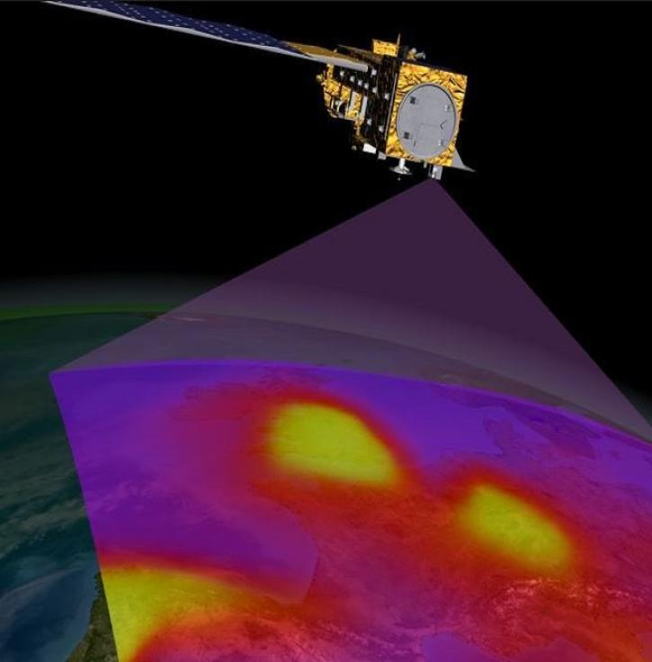
| 13 km x 24 km, 0.25°, 1° | Global | 98 minutes, Daily | 2004-present | 1.0-0.45 nm Full Width and Half Maximum (FWHM) | Aura | Ozone Monitoring Instrument (OMI) | Observation | HDF-EOS5 |
| 7.5 km x 3 km | Global | 101 minutes, Daily | 2018 | 250-420 nm | NASA/NOAA Suomi National Polar-orbiting Partnership (Suomi NPP) | Ozone Mapping and Profiler Suite (OMPS) | Observation | netCDF-4 |
| 7 x 3.5 km for all spectral bands, with the exception of the UV1 band (7 x 28 km2) and SWIR bands (7 x 7 km2) | Global | Daily | 2017-present | 270 nm-2.3 µm, 0.55 nm | ESA Sentinel-5P | TROPOspheric Monitoring Instrument (TROPOMI) | Observation | netCDF |
| 165 km x 3 km | Near-global (-82º to +82º latitude) | 15 minutes, Twice daily [day, night] | 2021-present | 190 and 240 GHz | Aura | *MLS | Observation | HDF-EOS5 |
| 0.5° x 0.625° | Global | Hourly, 3 hourly, Monthly | 1980-present | N/A | N/A | MERRA-2 | Reanalysis | netCDF |
| 0.25º x 0.25° | Global | 15 min, Hourly | Daily 5-day forecast | N/A | N/A | GEOS-CF | Model | netCDF |
| 0.25º x 0.312° | Global | 3-hourly | Near-real time assimilation (DAS), 10-day forecast at 00z, and 5-day forecast at 12z | N/A | N/A | GEOS FP | Analysis | netCDF |
| Point measurements | Global | Periodic flights occurred during each deployment | 2016-2018 | varies | Airborne Field Campaign | Atmospheric Tomography Mission (ATom) campaign with varying instruments | Observation | netCDF |