We are in the process of migrating all NASA Earth science data sites into Earthdata from now until end of 2026. Not all NASA Earth science data and resources will appear here until then. Thank you for your patience as we make this transition.
Read about the Web Unification Project
Precipitation News
Articles, resources, and announcements from Precipitation.
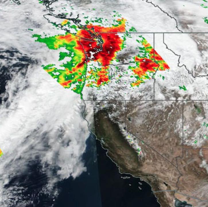
Image captured on Feb 28, 2022 by the Global Precipitation Measurement (GPM) Microwave Imager (GMI) instrument on the GPM Core Observatory.
Worldview Image of the Week
May 19, 2022
New Near Real-Time (NRT) Global Flood Mapping product from LANCE will continue production of data critical for detecting floods around the globe.
Feature Article
Dec. 27, 2021
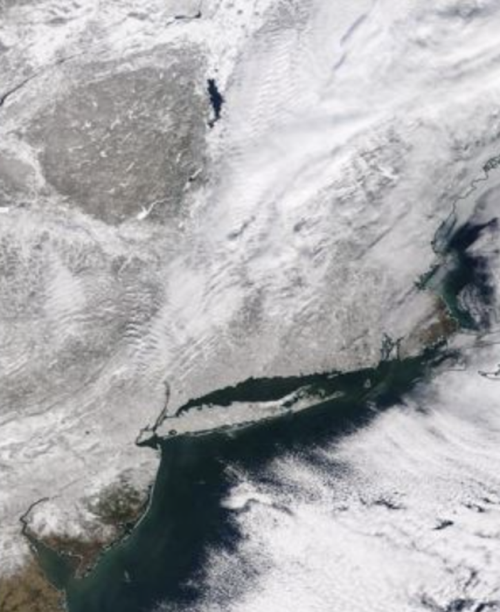
IMPACTS—the first campaign to study intense East Coast snowstorms in the past 30 years—aims to give scientists a better understanding of what drives the processes that generate snowfall in the snowbands of intense storms.
Feature Article
Dec. 27, 2021

Data from NASA’s GHRC DAAC helps scientists like Dr. Anna Wilson develop accurate representations of atmospheric rivers to increase forecast accuracy and improve weather model outputs.
Data User Story
Dec. 21, 2021

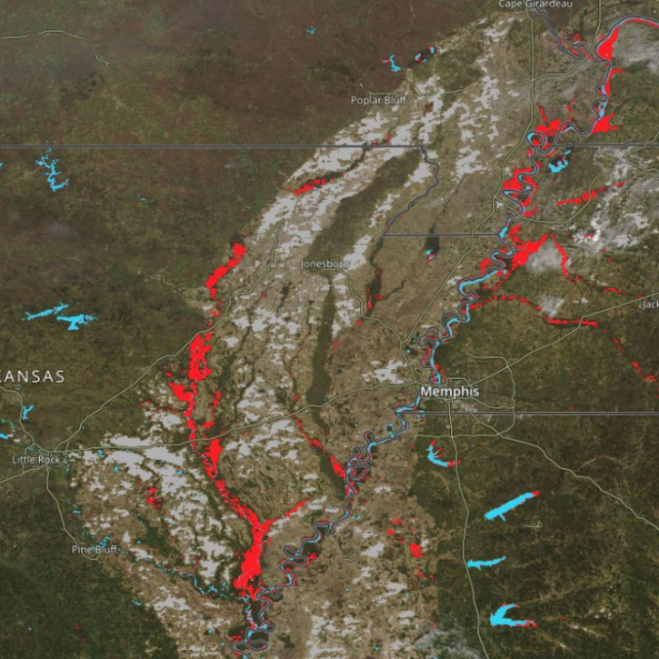
Base image captured on Oct. 25, 2021, by the VIIRS instrument aboard the joint NASA/NOAA Suomi NPP satellite and overlain with IMERG Precipitation Rate.
Worldview Image of the Week
Dec. 7, 2021

Talking about NASA precipitation data with GPM Project Scientist Dr. Gail Skofronick-Jackson.
Data User Story
May 12, 2021

Who uses NASA Earth science data? Dr. Larry O’Neill, to explore the effects of air-sea interactions on weather, ocean, and climate.
Data User Story
April 22, 2021

Who uses NASA Earth science data? Dr. Pierre Kirstetter, for improving our understanding of precipitation and flooding.
Data User Story
April 20, 2021
SHOWING 8 OF 50