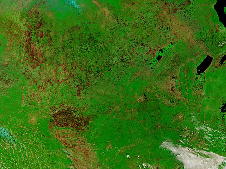
NASA’s atmospheric wind data range from hourly primary forcing measurements to inter-related suites of atmospheric wind and other data. Our datasets and tools help users find and integrate the information they need to see how this primary weather force effects our lives and planet.
Atmospheric Winds Data Access and Tools
Atmospheric Winds Datasets
| Dataset Sort descending | Version | Platform | Instrument | Temporal Extent | Spatial Extent | Spatial Resolution | Data Format |
|---|---|---|---|---|---|---|---|
| CERES SSF 1 degree Time-Interpolated TOA Fluxes, Clouds and Aerosols Monthly NPP Edition2A | Edition2A | Suomi-NPP | CERES-FM5, VIIRS | 2012-02-01 to 2019-09-30 | HDF4 | ||
| CERES SSF 1 degree Time-Interpolated TOA Fluxes, Clouds and Aerosols Monthly NPP Edition2B | Edition2B | Suomi-NPP | CERES-FM5, VIIRS | 2023-10-01 to Present | 1 Decimal Degrees x 1 Decimal Degrees | HDF4 | |
| CERES Time-Interpolated TOA Fluxes, Clouds and Aerosols Daily Aqua Edition4A | Edition4A | Aqua | CERES-FM4, CERES-FM3 | 2002-07-01 to Present | HDF4 | ||
| CERES Time-Interpolated TOA Fluxes, Clouds and Aerosols Daily NOAA-20 Edition1C | Edition1C | NOAA-20 | CERES-FM6, VIIRS | 2018-05-01 to Present | HDF4 | ||
| CERES Time-Interpolated TOA Fluxes, Clouds and Aerosols Daily NPP Edition2A | Edition2A | Suomi-NPP | CERES-FM5, VIIRS | 2012-02-01 to 2024-08-01 | HDF4 | ||
| CERES Time-Interpolated TOA Fluxes, Clouds and Aerosols Daily Suomi NPP | Edition2B | Suomi-NPP | CERES-FM5, VIIRS | 2023-10-01 to Present | 1 Decimal Degrees x 1 Decimal Degrees | HDF4 | |
| CERES Time-Interpolated TOA Fluxes, Clouds and Aerosols Daily Terra Edition4A | Edition4A | Terra | CERES-FM1, CERES-FM2 | 2000-03-01 to Present | HDF4 | ||
| CERES Time-Interpolated TOA Fluxes, Clouds and Aerosols Monthly Aqua Edition4A | Edition4A | Aqua | CERES-FM4, CERES-FM3 | 2002-07-01 to Present | HDF4 | ||
| CERES Time-Interpolated TOA Fluxes, Clouds and Aerosols Monthly NOAA-20 Edition1C | Edition1C | NOAA-20 | CERES-FM6, VIIRS | 2018-05-01 to Present | HDF4 | ||
| CERES Time-Interpolated TOA Fluxes, Clouds and Aerosols Monthly Terra Edition4A | Edition4A | Terra | CERES-FM1, CERES-FM2, MODIS | 2000-03-01 to Present | HDF4 | ||
| CITE-2 Electra Meteorological and Navigational Data | 1 | NASA ELECTRA | Computer | 1986-08-11 to 1986-09-07 |
N: 44.43 S: 30.55 E: -68.12 W: -131.91 |
GTE | |
| CITE-3 Electra Meteorological and Navigational Data | 1 | NASA ELECTRA | Computer | 1989-08-14 to 1989-10-01 |
N: 40.13 S: 0.01 E: -26.93 W: -81.48 |
GTE | |
| CMS: Hourly Carbon Dioxide Estimated Using the WRF Model, North America, 2010 | 1 | CLIMATE MODELS | Computer | 2010-01-01 to 2010-12-31 |
N: 63 S: 13 E: -41 W: -151 |
netCDF-4 classic | |
| COWVR STP-H8 Surface Wind Vector and Column-Integrated Atmospheric Water Measurements Version 10.0 | 10.0 | ISS | COWVR | 2022-01-08 to Present |
N: 61 S: -61 E: 180 W: -180 |
35 Kilometers x 35 Kilometers | HDF5 |
| CPEX DAWN WIND PROFILES | 1 | NASA DC-8 | DAWN | 2017-05-27 to 2017-06-25 | ASCII, Word, PNG, CSV, Text File, KMZ | ||
| CPEX-AW ADM-Aeolus Datasets | 1 | Aeolus | WIND PROFILERS | 2021-08-06 to 2021-09-17 | HDF4 | ||
| CPEX-AW DAWN Doppler Aerosol WiNd Lidar | 1 | NASA DC-8 | DAWN | 2020-08-20 to 2021-09-05 | NetCDF-4 | ||
| CPEX-AW Dropsonde Data | 1 | NASA DC-8 | DROPSONDES | 2021-08-06 to 2021-09-16 | NetCDF-3, ICARTT | ||
| CPEX-CV DAWN Doppler Aerosol WiNd Lidar | 1 | NASA DC-8 | DAWN | 2022-09-06 to 2022-09-30 | NetCDF-4, PNG | ||
| CPEX-CV Dropsonde Data | 1 | NASA DC-8 | DC8 DROPSONDES | 2022-06-16 to 2022-10-03 | NetCDF-4, ICARTT, PNG | ||
| CPEX-CV Merge Data Files | 1 | NASA DC-8, Data Analysis | CIP, CAS, Computer | 2022-09-06 to 2022-10-02 | ICARTT | ||
| Daily SnowModel Outputs Covering the ABoVE Core Domain, 3-km Resolution, 1980-2020 | 1 | MODELS | Computer | 1980-09-01 to 2020-08-31 |
N: 75.8357 S: 49.8038 E: -84.3282 W: -176.915 |
netCDF-4 classic | |
| DC3 In-Situ DC-8 Meteorological and Navigational Data | 1 | NASA DC-8 | MMS, DLH, GPS, HYGROMETERS, PRESSURE TRANSDUCERS, HUMIDITY SENSORS, TEMPERATURE SENSORS | 2012-05-04 to 2012-06-23 |
N: 42.16 S: 30.89 E: -78.97 W: -121.61 |
ICARTT | |
| DC3 In-Situ DLR Falcon Meteorological and Navigational Data | 1 | DLR-Falcon | GPS, HYGROMETERS, PRESSURE SENSORS, TEMPERATURE SENSORS, HUMIDITY SENSORS | 2012-05-29 to 2012-06-14 |
N: 42.66 S: 30.52 E: -91.06 W: -105.19 |
ICARTT | |
| DC3 In-Situ NSF/NCAR GV-HIAPER Meteorological and Navigational Data | 1 | NSF/NCAR GV HIAPER | GPS, HYGROMETERS, UHSAS, CPC, VCSEL Hygrometer, CLH2 | 2012-05-18 to 2012-06-30 |
N: 42.73 S: 25 E: -79.32 W: -106.19 |
ICARTT |
Featured Atmospheric Winds Observation Method: MODIS
The Moderate Resolution Imaging Spectroradiometer (MODIS) flies aboard the Terra and Aqua satellites and surveys Earth every one to two days. The multi-spectral instrument can be used in a variety of ways including detecting winds in different levels of the atmosphere.
Get Help
QUESTIONS & SUPPORT
Get help with NASA Earth science data, datasets, tools, services, and metadata on the Earthdata Forum. Experienced staff in the data user community review and answer questions.
Get help on Earthdata ForumForum