Delivery of Suomi National Polar-orbiting Partnership (Suomi NPP) satellite data products will cease on November 1, 2026. Data users should transition now to alternative products from NOAA-21 and NOAA-20.
Suomi NPP data announcement
Aerosols News
Articles, resources, and announcements from Aerosols.

A satellite captured multiple ways of viewing the ash and sulfur dioxide emissions in early September 2026.
Worldview Image of the Week
Sept. 11, 2026

Wildfires are burning across Indonesia - affecting the islands of Sumatra, Kalimantan, Sulawesi, Java, and Papua and causing poor air quality across the country.
Worldview Image of the Week
Aug. 31, 2026

Aerosol particles, formaldehyde, and NOx emissions show up prominently in satellite data.
Worldview Image of the Week
Aug. 7, 2026
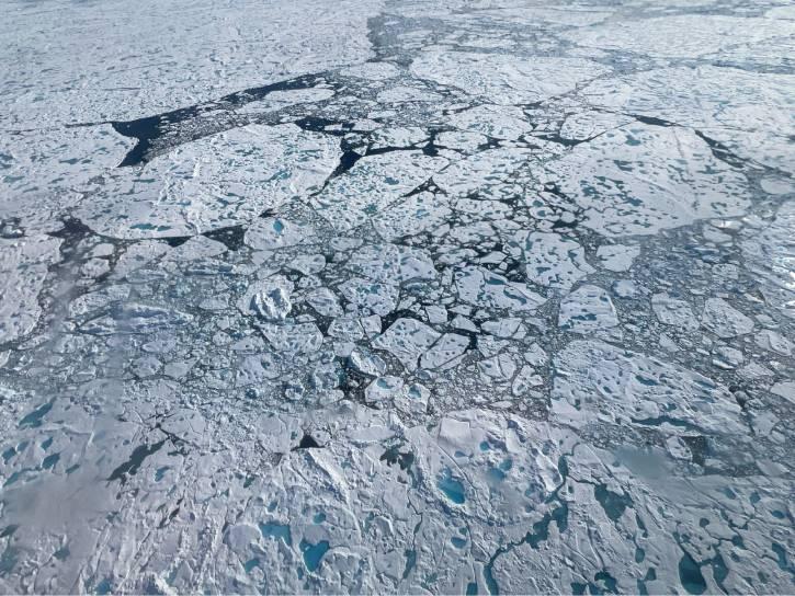
The meeting for the Arctic Radiation-Cloud-Aerosol-Surface Interaction Experiment (ARCSIX) featured an overview and presentations on individual data collections.
Event
July 26, 2026

Successive heatwaves and drought are fueling wildfires in France and the rest of Europe.
Worldview Image of the Week
July 24, 2026
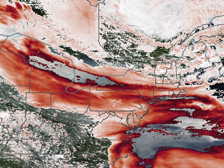
Satellite sensors captured views of smoky clouds extending thousands of miles and darkening skies across middle and eastern portions of North America.
Worldview Image of the Week
July 17, 2026
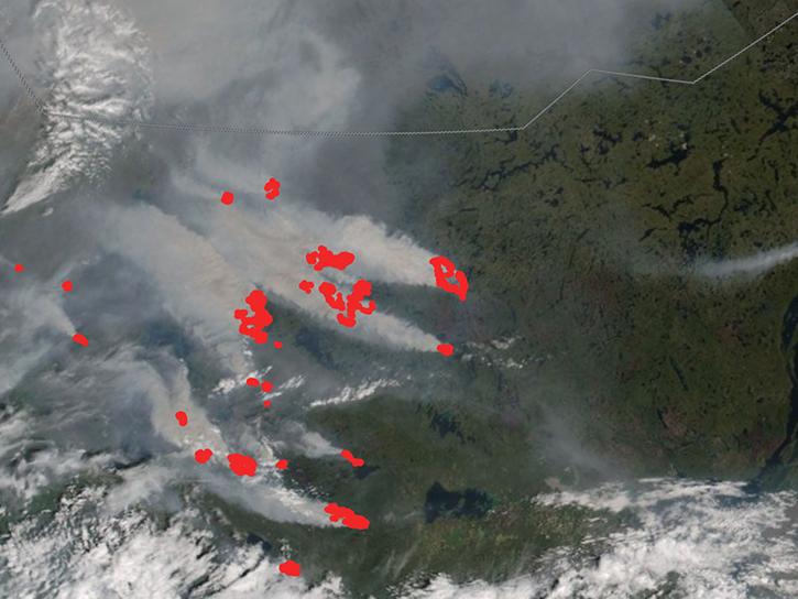
In early July 2026, several wildland fires sent smoke plumes across parts of Canada's Northwest Territories.
Worldview Image of the Week
July 10, 2026

Hot, dry, and windy conditions fueled the spread of wildfires across the region in late June and early July, when Suomi NPP captured this data.
Worldview Image of the Week
July 2, 2026
SHOWING 8 OF 258