We are in the process of migrating all NASA Earth science data sites into Earthdata from now until end of 2026. Not all NASA Earth science data and resources will appear here until then. Thank you for your patience as we make this transition.
Read about the Web Unification Project
Filters
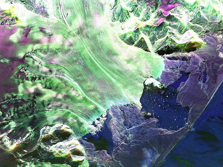
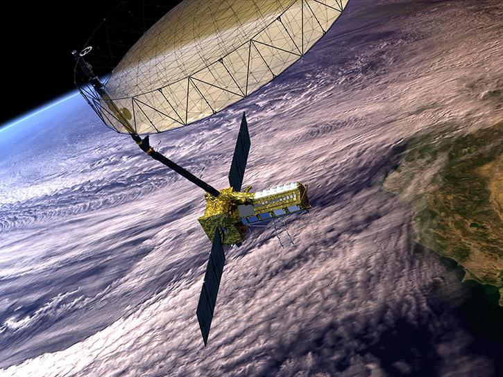
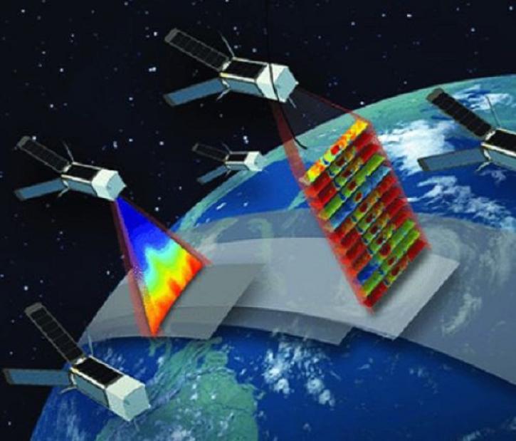
This video introduces users to a range of topics related to the NASA/Indian Space Research Organization (ISRO) Synthetic Aperture Radar (SAR) (NISAR) platform.
Webinar
Jan. 24, 2024
This presentation from Day 2 of the NISAR Early Adopter Workshop on 01/24/2024 includes a demo of an InSAR workflow with HyP3 and OpenScienceLab.
Webinar
Jan. 24, 2024
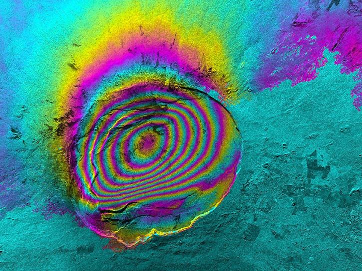
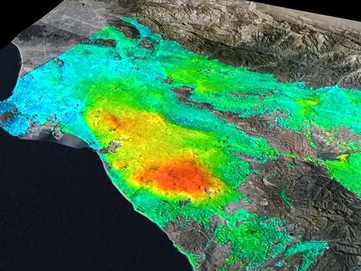
Learn how to conduct an InSAR short baseline subsets (SBAS) time series analysis using data from the NASA/Indian Space Research Organization (ISRO) Synthetic Aperture Radar (NISAR).
Webinar
Jan. 24, 2024
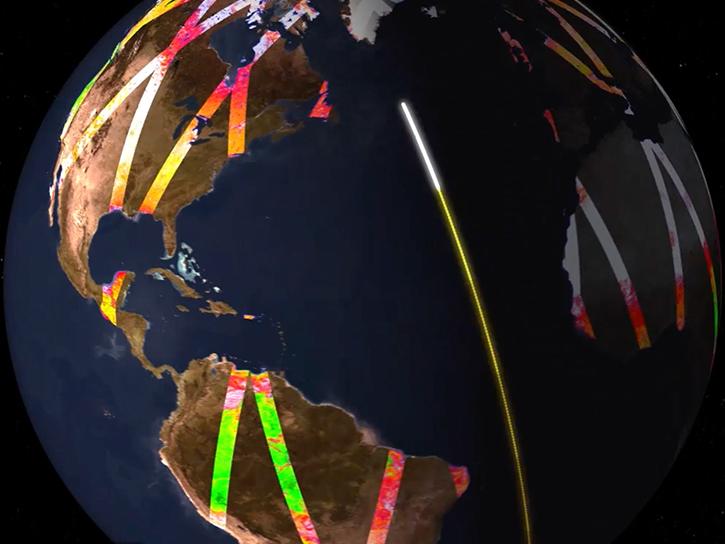
This presentation demonstrates how to process Sentinel-1 Interferometric Synthetic Aperture Radar (InSAR) GAMMA SBAS time series using HyP3.
Webinar
Jan. 24, 2024
Learn how to work with sample data from the NASA/Indian Space Research Organization (ISRO) SAR (NISAR) platform.
Webinar
Jan. 24, 2024
Learn how to work with NASA/Indian Space Research Organization (ISRO) Synthetic Aperture Radar (NISAR) data in the HDF5 format.
Webinar
Jan. 24, 2024
Time-Resolved Observations of Precipitation structure and storm Intensity with a Constellation of SmallSats (TROPICS) Pathfinder data released.
Feature Article
Jan. 23, 2024
This video features an introduction to the agenda and logistics for Day 2 of the NISAR Early Adopters Program two-day workshop, January 23-24, 2024.
Webinar
Jan. 23, 2024
SHOWING 8 OF 2379