We are in the process of migrating all NASA Earth science data sites into Earthdata from now until end of 2026. Not all NASA Earth science data and resources will appear here until then. Thank you for your patience as we make this transition.
Read about the Web Unification Project
Filters
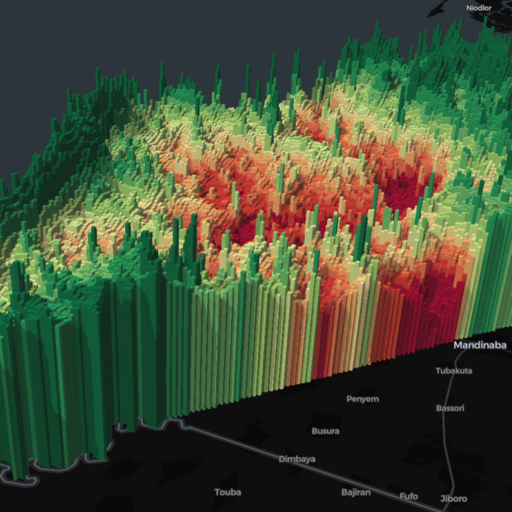
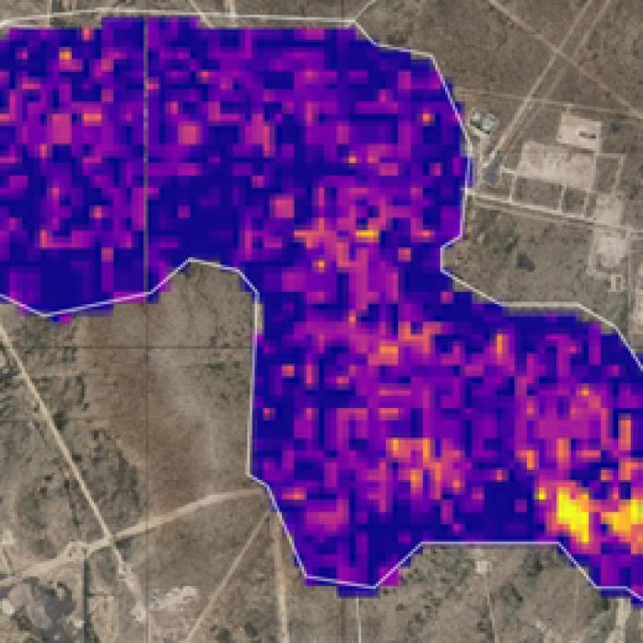
Five international teams took home top honors in a challenge to use open data to create visualizations highlighting the themes of zero hunger, clean water, and climate action.
News
April 12, 2024

Image captured April 8, 2024, at 1:40 p.m., EDT, by the Advanced Baseline Imager (ABI) instrument aboard the GOES-East satellite.
Worldview Image of the Week
April 11, 2024
New data tutorials are available for working with methane data from NASA's Earth Surface Mineral Dust Source Investigation (EMIT) mission.
News
April 10, 2024

Explore datasets with the Sub-Orbital Order Tool (SOOT).
Tutorial
April 8, 2024

Having the codebase openly available allows users to fully access all CASEI code and documentation.
News
April 5, 2024
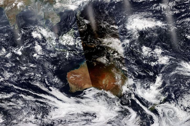
Image captured April 20, 2023, by the VIIRS instrument aboard the joint NASA/NOAA NOAA-20 satellite.
Worldview Image of the Week
April 4, 2024

A summary of datasets, products, and resources released by NASA’s Distributed Active Archive Centers (DAACs) in March 2024.
News
April 3, 2024
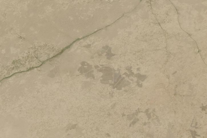
Image captured on March 25, 2024, by the MultiSpectral Instrument (MSI) aboard the ESA (European Space Agency) Sentinel-2B satellite.
Worldview Image of the Week
March 28, 2024
SHOWING 8 OF 2379