We are in the process of migrating all NASA Earth science data sites into Earthdata from now until end of 2026. Not all NASA Earth science data and resources will appear here until then. Thank you for your patience as we make this transition.
Read about the Web Unification Project
Filters

Validated science data products from the Surface Water and Ocean Topography (SWOT) mission are available through NASA Earthdata Search.
News
Aug. 14, 2024

Earth observation data help scientists accurately measure changes to Earth's month-to-month mass and the estimated amount of water beneath its surface.
Data in Action
Aug. 13, 2024

Satellite instruments have trouble discerning fire activity under heavy clouds or smoke cover. These conditions can limit active fire detection.
Blog
Aug. 9, 2024

Image captured on August 7, 2024, by the MODIS instrument aboard NASA's Terra satellite.
Worldview Image of the Week
Aug. 8, 2024

A summary of datasets, products, and resources released by NASA's Distributed Active Archive Centers (DAACs) in July 2024.
News
Aug. 6, 2024
The new application makes it easy to retrieve large quantities of Earth science data from NASA Earthdata Search.
News
Aug. 2, 2024
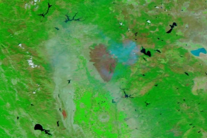
Image captured on July 31, 2024, by the VIIRS instrument aboard the joint NASA/NOAA NOAA-20 satellite.
Worldview Image of the Week
Aug. 1, 2024
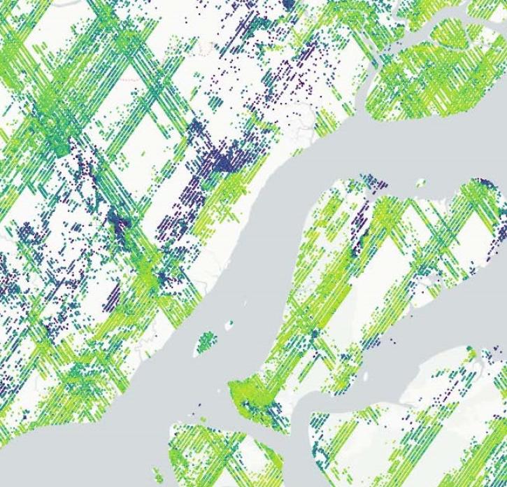
The Global Ecosystem Dynamics Investigation (GEDI) mission’s new product offers insights into habitat quality and ecosystem function.
Feature Article
July 31, 2024
SHOWING 8 OF 2379