Delivery of Suomi National Polar-orbiting Partnership (Suomi NPP) satellite data products will cease on November 1, 2026. Data users should transition now to alternative products from NOAA-21 and NOAA-20.
Suomi NPP data announcement
Filters
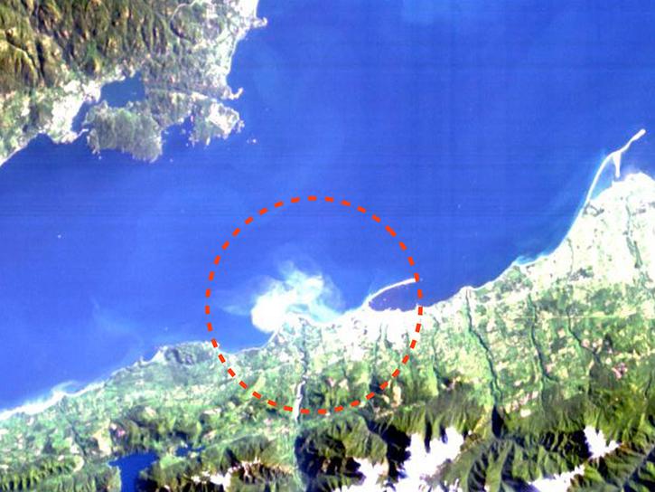
Access the agenda and download presentations from the third HICO Users Meeting.
Event
May 7, 2014
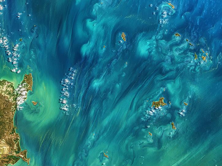
View the agenda and access presentation slides from the NASA Ocean Biology and Biogeochemistry Group 2014 meeting.
Event
May 4, 2014

Users can now integrate GIBS imagery with widely-used maps such as Google Maps, Bing Maps, and OpenStreetMap up to zoom level 9.
Blog
April 24, 2014
We are pleased to announce that two new sets of imagery products are now available in GIBS.
Blog
April 24, 2014
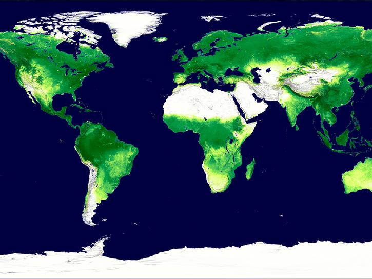
Discover how MODIS data were used to depict cloud-free, global variations in vegetation cover.
Data in Action
April 11, 2014
The GIBS team is pleased to announce the operational deployment of the latest version of the OnEarth imagery access software.
Blog
April 4, 2014
NASA's Global Imagery Browse Services will be participating in the International Space Apps Challenge, a global hack-a-thon to build open source solutions to space- and Earth-related needs.
Blog
April 4, 2014
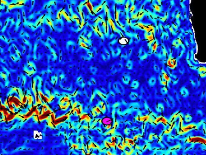
NASA's OSCAR data were used to analyze ocean currents to track debris fields for Malaysian Airlines flight 370.
Data in Action
April 4, 2014
SHOWING 8 OF 2411