We are in the process of migrating all NASA Earth science data sites into Earthdata from now until end of 2026. Not all NASA Earth science data and resources will appear here until then. Thank you for your patience as we make this transition.
Read about the Web Unification Project
Filters
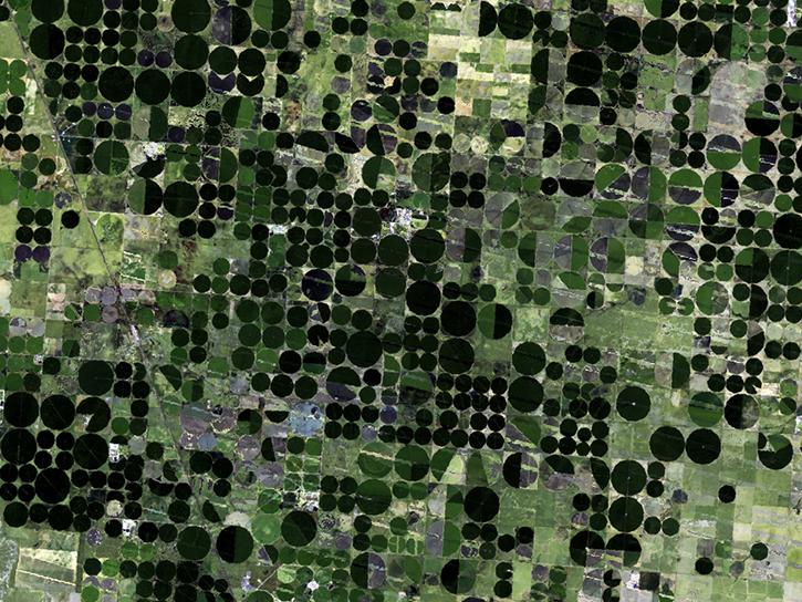
Learn about Web-Enabled Landsat Data (WELD), a MEaSUREs project that created composited mosaics of the U.S. using ETM+ data from 2002 to 2012.
Data in Action
March 31, 2016
This video describes how to create time-series for multiple data variables simultaneously with Giovanni-4.
Tutorial
March 30, 2016

This video describes how to make a time-series for seasons or months in consecutive years with Giovanni-4.
Tutorial
March 29, 2016

This video describes how to choose the type of data visualization (maps, time-series, profiles, etc.) that will be created with Giovanni.
Tutorial
March 28, 2016

This video describes how to select the area of interest (bounding box or shapefile) for use in Giovanni-4 analysis and visualization.
Tutorial
March 28, 2016

This instructional video describes how to find data variables in Giovanni-4 using the faceted search by measurement type.
Tutorial
March 28, 2016
Choose a time period for analysis using the Giovanni-4 interface.
Tutorial
March 28, 2016

Generation of Terra/MODIS atmospheric products has restarted as of April 8, 2016.
Blog
March 3, 2016
SHOWING 8 OF 2379