We are in the process of migrating all NASA Earth science data sites into Earthdata from now until end of 2026. Not all NASA Earth science data and resources will appear here until then. Thank you for your patience as we make this transition.
Read about the Web Unification Project
Filters

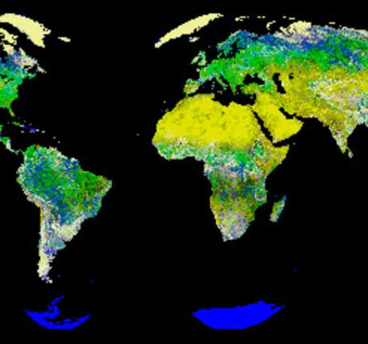
New logic for classifying vegetation using the Global Land AVHRR Dataset (GLAD).
Feature Article
July 21, 2020

The Amazon rainforest is losing ground as human activity fragments the forests.
Feature Article
July 21, 2020

The Mercury Tool was designed to facilitate a process that does not result in large, centralized data management.
Feature Article
July 21, 2020

Finding a model that doesn't require recalibration from watershed to watershed.
Feature Article
July 21, 2020
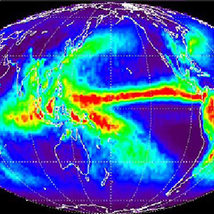
Overview of methodology to monitor rainfall on a global scale.
Feature Article
July 21, 2020

Extreme weather events thousands of miles apart may be linked.
Feature Article
July 21, 2020

Examining the correlation and consistency of the solar total irradiances measured.
Feature Article
July 21, 2020
SHOWING 8 OF 2379