We are in the process of migrating all NASA Earth science data sites into Earthdata from now until end of 2026. Not all NASA Earth science data and resources will appear here until then. Thank you for your patience as we make this transition.
Read about the Web Unification Project
Filters
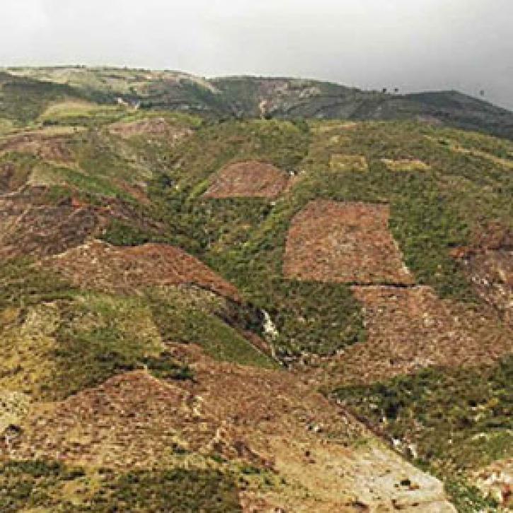
The major earthquake in Haiti shifts thinking about disaster planning.
Feature Article
Dec. 28, 2020
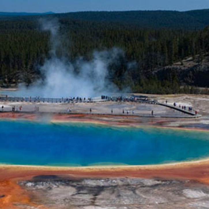
Yellowstone is a kind of tutorial for volcano monitoring.
Feature Article
Dec. 28, 2020


Researchers investigate how much wildfires contribute to pollution, and how far this pollution can travel.
Feature Article
Dec. 28, 2020
Scientists search the deep oceans to balance Earth’s energy budget.
Feature Article
Dec. 28, 2020

Ancient life survives in suspension under the sea.
Feature Article
Dec. 28, 2020

Today's forecast calls for atmospheric explosions and mercury rain.
Feature Article
Dec. 28, 2020
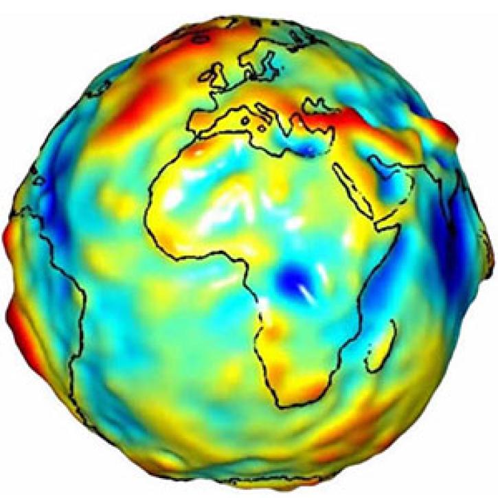
A new satellite mission sheds light on Earth's gravity field and provides clues about changing sea levels.
Feature Article
Dec. 28, 2020
SHOWING 8 OF 2379