We are in the process of migrating all NASA Earth science data sites into Earthdata from now until end of 2026. Not all NASA Earth science data and resources will appear here until then. Thank you for your patience as we make this transition.
Read about the Web Unification Project
Filters

Remote sensing and meteorological data help forecast the health of a landscape.
Feature Article
July 23, 2020

Not all phytoplankton are created equal.
Feature Article
July 23, 2020
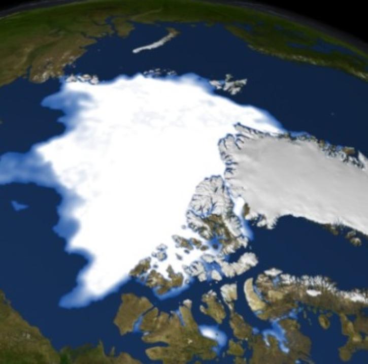
Melt caused by climate warming may increase sea ice extent in the polar regions.
Feature Article
July 23, 2020
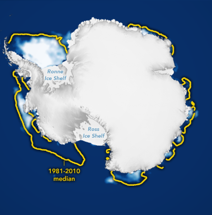
Researchers use averaged ice concentrations to estimate sea ice cover.
Feature Article
July 23, 2020

Landowners and land managers monitor their land's health through a variety of methods. But what about people who own or manage millions of acres?
Feature Article
July 23, 2020

The Distributed Oceanographic Data System (DODS) provides an opportunity for scientists to share oceanographic data.
Feature Article
July 23, 2020
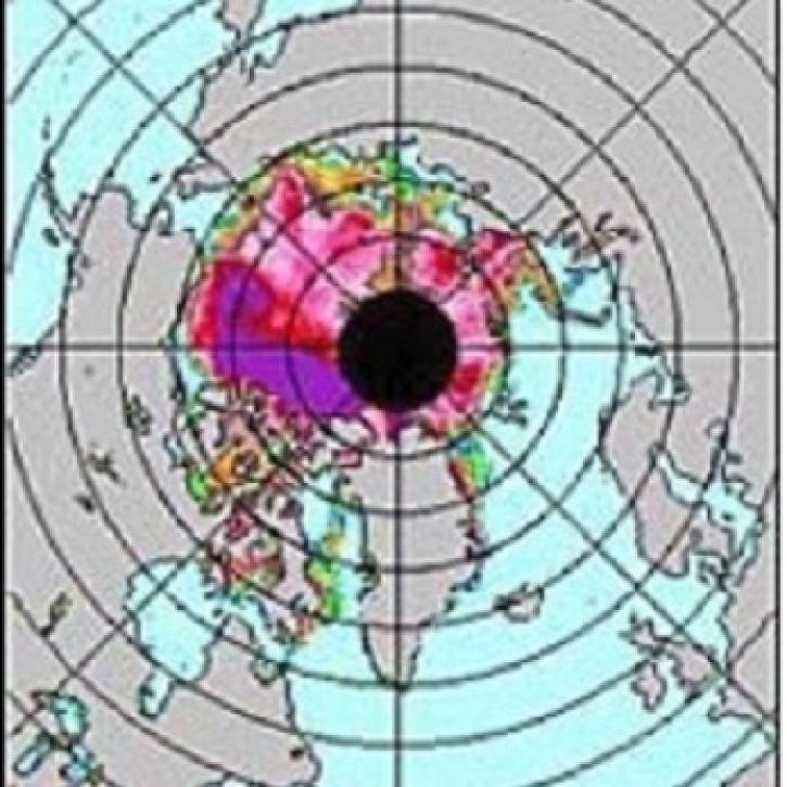
UARS data helps to see how isolated the tropics are from the mid-latitudes.
Feature Article
July 23, 2020
DMSP SSM/I Pathfinder EASE-Grid Brightness Temperatures data enhance the feasibility of lake studies for scientists and climate modelers.
Feature Article
July 23, 2020
SHOWING 8 OF 534