We are in the process of migrating all NASA Earth science data sites into Earthdata from now until end of 2026. Not all NASA Earth science data and resources will appear here until then. Thank you for your patience as we make this transition.
Read about the Web Unification Project
Filters

A CSESP-funded study found that AI is no better at identifying rain or snow in storms than people and conventional models.
Feature Article
July 10, 2025

Researchers taught the SatVision Top-of-Atmosphere foundation model to recognize MODIS imagery features.
Feature Article
May 9, 2025

The Global Land Ice Measurements from Space (GLIMS) Glacier Database provides timely data on more than 200,000 glaciers around the world.
Feature Article
April 8, 2025
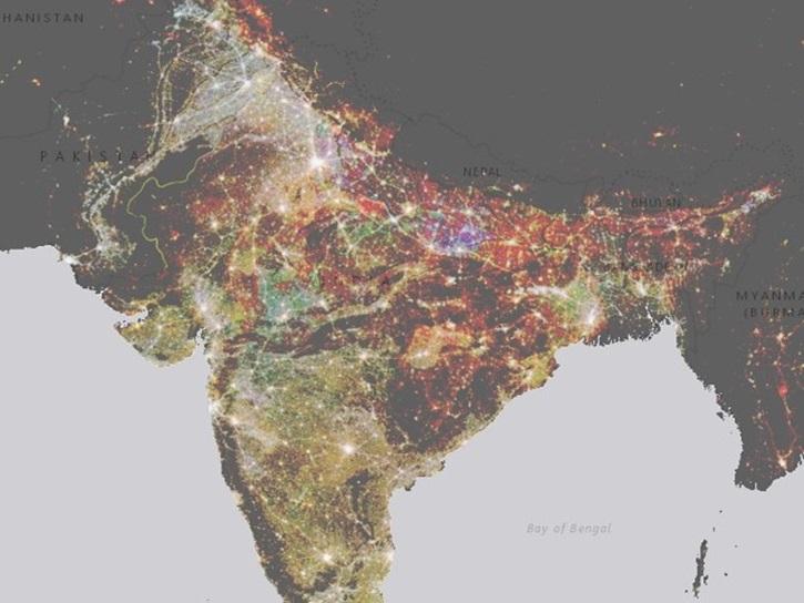
NASA’s Socioeconomic Data and Applications Center (SEDAC) has released a collection of 12 datasets focused on the urban environment.
Feature Article
Feb. 7, 2025

The final processing of Advanced Spaceborne Thermal Emission and Reflection Radiometer (ASTER) data will make its archive more accessible to users.
Feature Article
Jan. 21, 2025

Satellite-based maps offer quick first alerts and approximate locations of potential wildfires that are then precisely tracked and fought by teams on the ground.
Feature Article
Jan. 13, 2025

The atlas now features NASA Earth science data formatted specifically for geographic information systems (GIS) users.
Feature Article
Jan. 7, 2025

SHOWING 8 OF 534