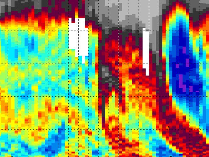
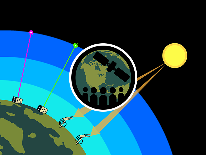
The Tropospheric Ozone Lidar Network (TOLNet) was established in 2012 to provide high spatio-temporal profiles of ozone in the lowest part of the atmosphere (the troposphere). These profiles allow for a better understanding of the physical processes driving the ozone budget in various meteorological and environmental conditions. They also validate the tropospheric ozone measurements made by spaceborne instruments.
Delivery of Suomi National Polar-orbiting Partnership (Suomi NPP) satellite data products will cease on November 1, 2026. Data users should transition now to alternative products from NOAA-21 and NOAA-20.
Suomi NPP data announcement