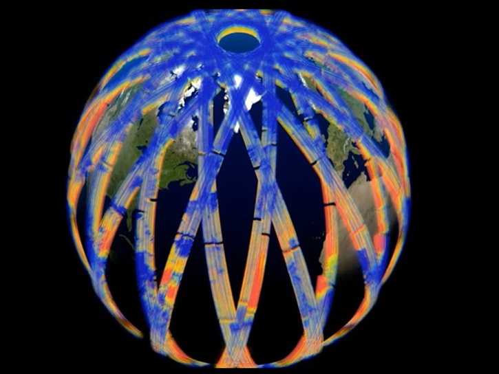
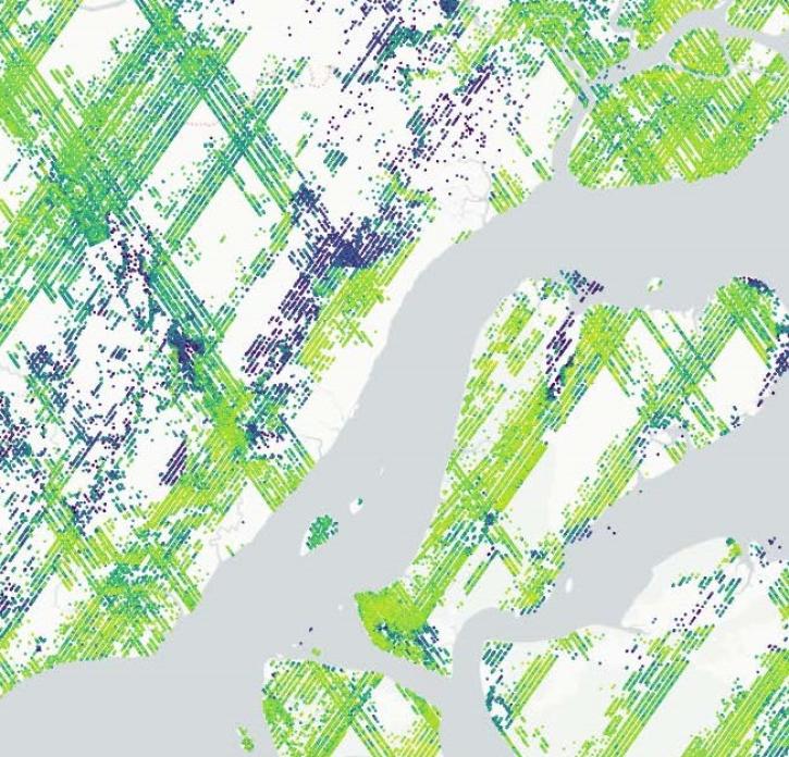
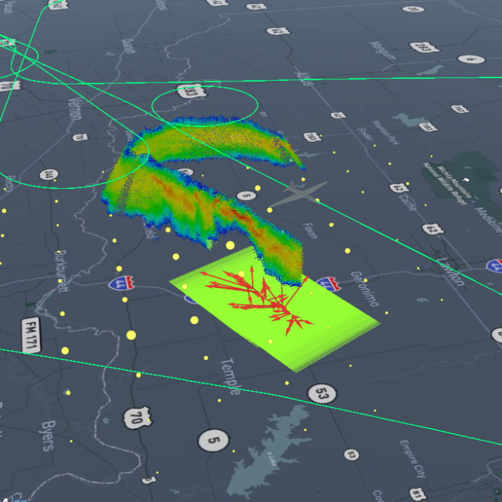
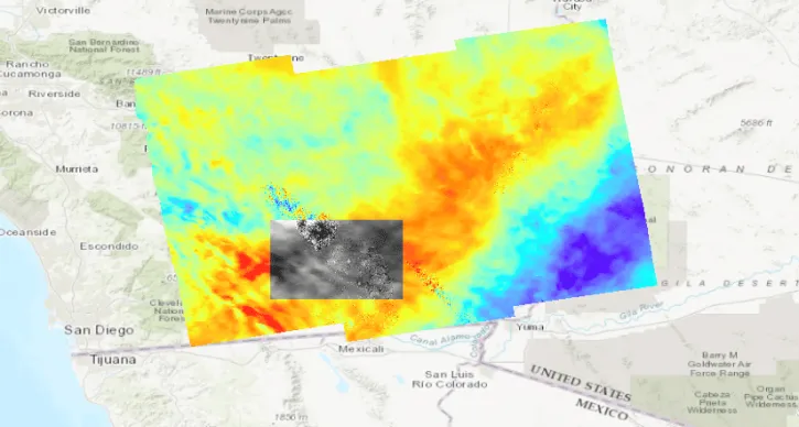
Harmony is a powerful data transformation service for customizing data across NASA data centers. Users can subset data for a geographic region, a temporal range, and by variable. Data can be “reprojected” from its native coordinate reference system (CRS) to the coordinate reference system needed for your analysis. Data can also be reformatted from its native file format to a format that is more relevant to your needs.
Harmony service requests can be made using one of two Open Geospatial Consortium (OGC)-inspired application programming interfaces (APIs). The requests are executed as jobs. Users can monitor and interact with long-running jobs, both programmatically through the API and via a web-based user interface. Once processed, the data are staged in NASA-owned Amazon Web Services (AWS) S3 buckets, providing users with signed URLs or temporary access credentials. Users also have the option to use their own S3 buckets to stage the data.