Delivery of Suomi National Polar-orbiting Partnership (Suomi NPP) satellite data products will cease on November 1, 2026. Data users should transition now to alternative products from NOAA-21 and NOAA-20.
Suomi NPP data announcement
Featured Projects
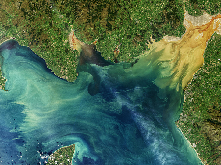
NASA's Applied Remote Sensing Training (ARSET) program teaches people to use Earth-observing data in their environmental management and decision-making.

At night, satellite images of Earth capture a uniquely human signal—artificial lighting. Remotely-sensed lights at night improve our understanding of interactions between human systems and the environment.
Explore All Projects
Filters
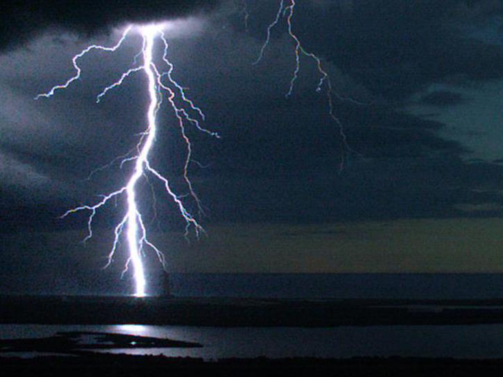
MERLIN C-G ensures the safety of personnel and assets for launches and launch operations at Cape Canaveral Air Force Station and NASA's Kennedy Space Center.
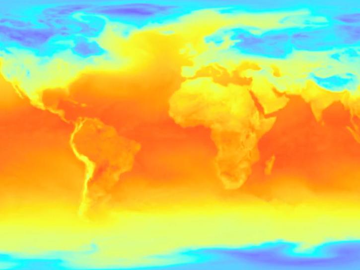
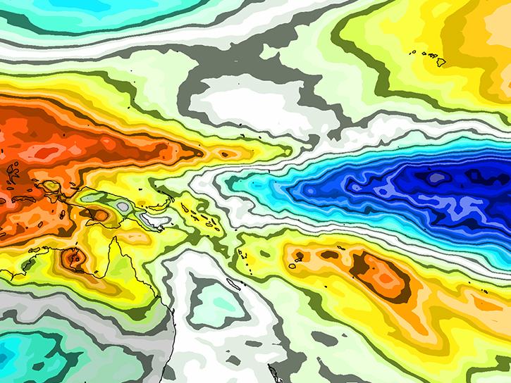
The Modern-Era Retrospective analysis for Research and Applications, version 2 is a NASA atmospheric reanalysis of the modern satellite era.
The wildfire project comprises MISR output from an analysis of wildfire plumes observed across Canada and Alaska from August 30 to September 9, 2022.
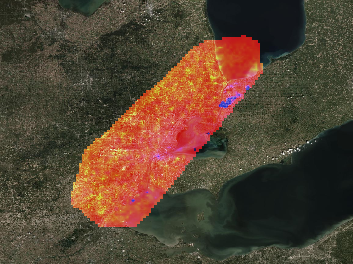
MOOSE comprises three field experiments: Great Lakes Meteorology and Ozone Recirculation (GLAMOR), Chemical Source Signatures (CHESS), and Methane Releases from Landfills and Gas Lines (MERLIN).
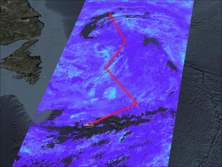
The NAAMES project, the first NASA Earth Venture–Suborbital mission, focused on studying the coupled ocean ecosystem and atmosphere.
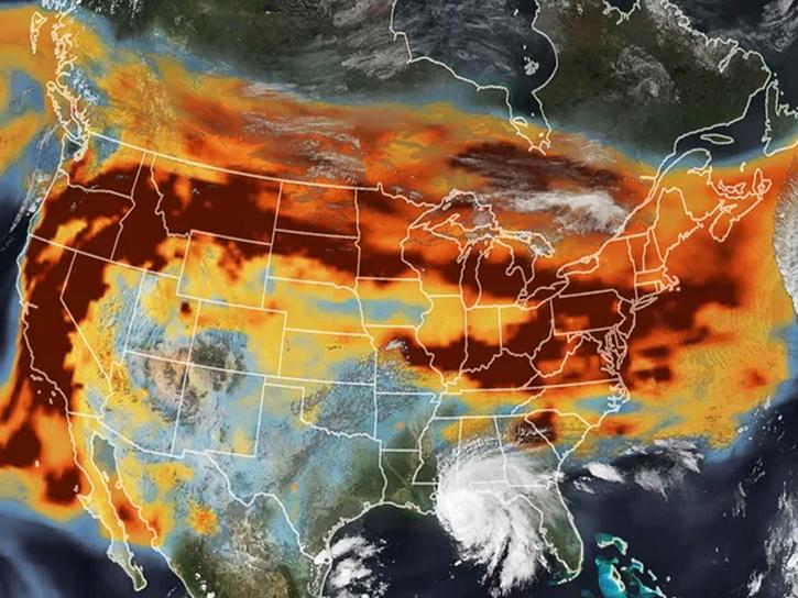
This multidisciplinary research program is designed to improve understanding of North America's carbon sources, sinks, and stocks.
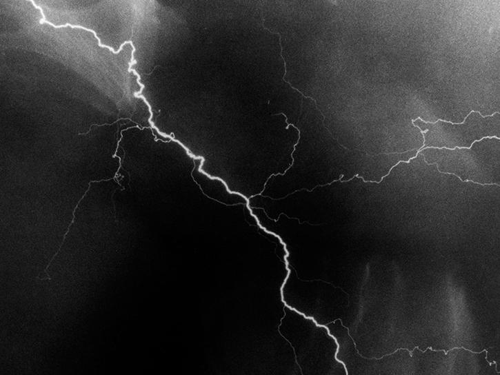
The NALMA network locates the total lightning activity inside storms using a network of 11 stations in northern AL and 2 stations in Atlanta, GA.
SHOWING 8 OF 208