Delivery of Suomi National Polar-orbiting Partnership (Suomi NPP) satellite data products will cease on November 1, 2026. Data users should transition now to alternative products from NOAA-21 and NOAA-20.
Suomi NPP data announcement
Featured Projects
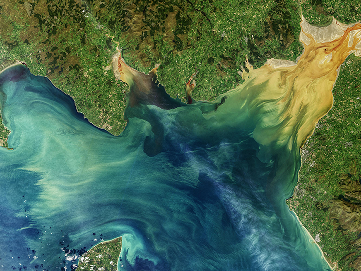
NASA's Applied Remote Sensing Training (ARSET) program teaches people to use Earth-observing data in their environmental management and decision-making.

At night, satellite images of Earth capture a uniquely human signal—artificial lighting. Remotely-sensed lights at night improve our understanding of interactions between human systems and the environment.
Explore All Projects
Filters
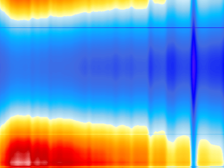
FIRE was a series of field missions that collected cirrus and marine stratocumulus cloud parameters from aircraft, satellite, and surface-based measurements.
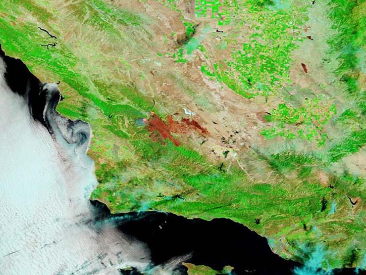
The FireSense project leverages NASA’s unique Earth science and technological capabilities to meet the challenges of wildland fire management.
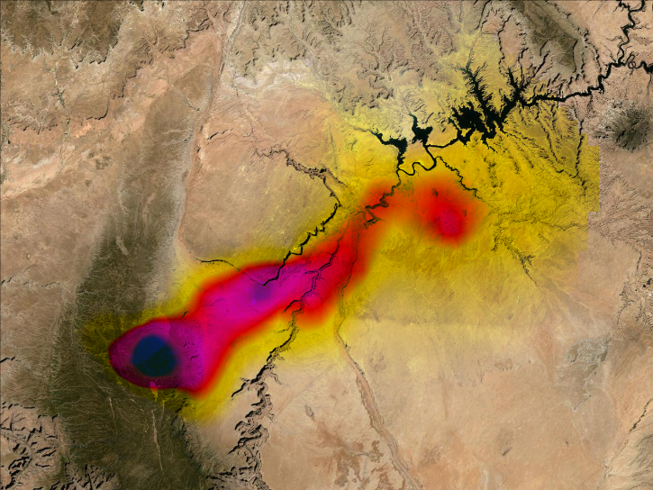
The FIREX-AQ campaign was an intensive study of the integrated impact of North American fire emissions on tropospheric chemistry and composition.
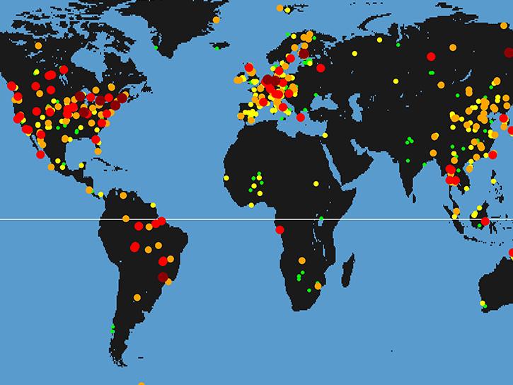
FLUXNET is a global network of micrometeorological towers that measure exchanges of carbon dioxide, water vapor, and energy between ecosystems and the atmosphere.
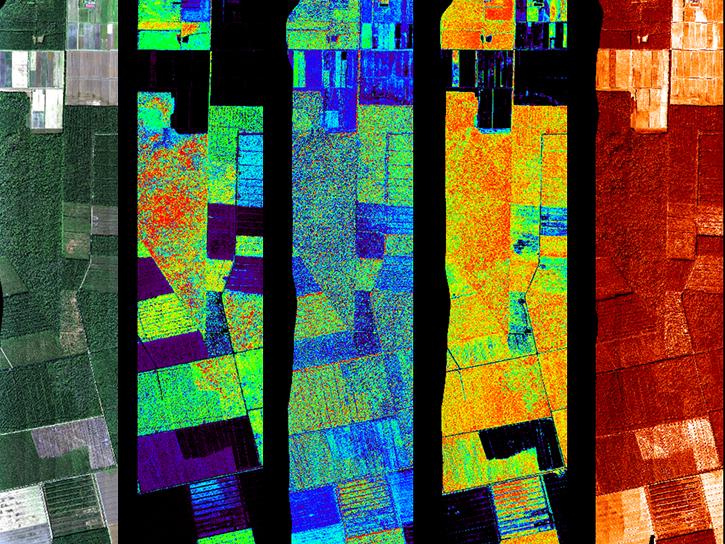
G-LiHT is a portable airborne imaging system that simultaneously maps the composition, structure, and function of terrestrial ecosystems.

NASA's Cold Season Precipitation Experiment (GCPEx) collected microphysical properties, associated remote sensing observations, and coordinated model simulations of precipitating snow.
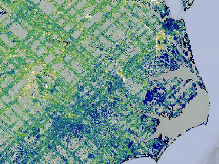
GEDI uses lidar to study the height and structure of forests and other plant biomass in order to better monitor and understand the carbon cycle, habitats, and biodiversity amid changing climate and land use patterns.
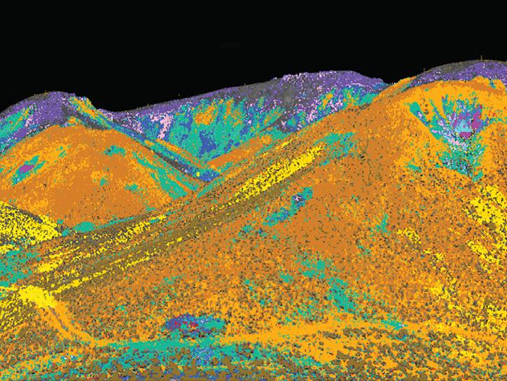
The GEMx airborne campaign collects measurements over the country's arid and semi-arid regions, including parts of California, Nevada, Arizona, and New Mexico.
SHOWING 8 OF 208