


Currently the along track Sea Surface Height (SSH) data are available for the successive reference missions (TOPEX/Poseidon (T/P), Jason-1, Ocean Surface Topography Mission/Jason-2 (OSTM) and Jason-3, and Sentinel-6 Michael Freilich) from September 1992 to the present. In the upcoming months, coherent along-track datasets will also be provided for high-latitude past and current altimetry missions.
The NASA-SSH 0.5-degree latitude-longitude grids are currently computed from the NASA-SSH along-track reference missions data.
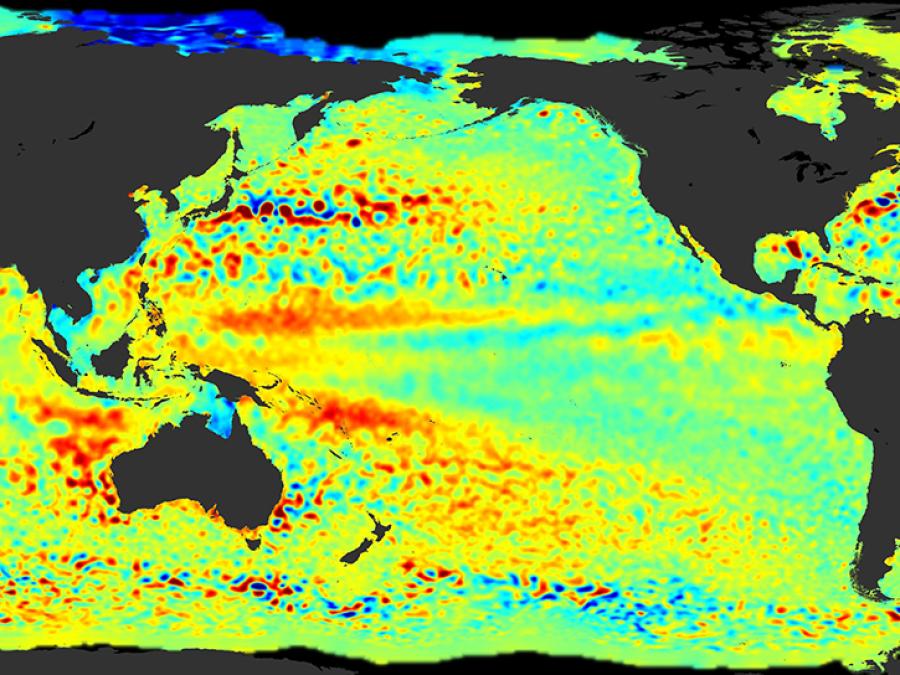
These grids are in turn used to estimate a suite of SSH-based climates indicators (global mean sea level (GMSL), El Niño Southern Oscillation (ENSO), Indian Ocean Dipole (IOD), and Pacific Decadal Oscillation (PDO)).