| Study Dates | June 30, 2015 - February 25, 2016 |
|---|---|
| Season of Study | Wet |
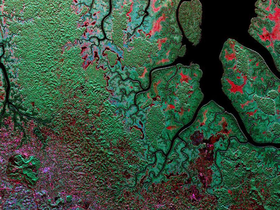
| Region | Gabon tropical forests |
| Spatial Bounds | N: 0° S: 2°S W: 9°E E: 12°E |
| Focus Areas | Carbon Cycle and Ecosystems |
| Geophysical Concepts | Carbon Storage and Processes |
| Scientific Topics | Carbon Tropical Forests Canopy Height Canopy Structure Tropical Forest Topography Biomass Afforestation/Reforestati0on Forest Science Forest Composition/Vegetation Structure Carbon Storage Carbon Cycle |
Earthdata Forum is down due to unplanned maintenance. Please contact earthdata-support@nasa.gov with questions.
See the alert