We are in the process of migrating all NASA Earth science data sites into Earthdata from now until end of 2026. Not all NASA Earth science data and resources will appear here until then. Thank you for your patience as we make this transition.
Read about the Web Unification Project
Landsat 9 Resources
Landsat 9 Learning Resources
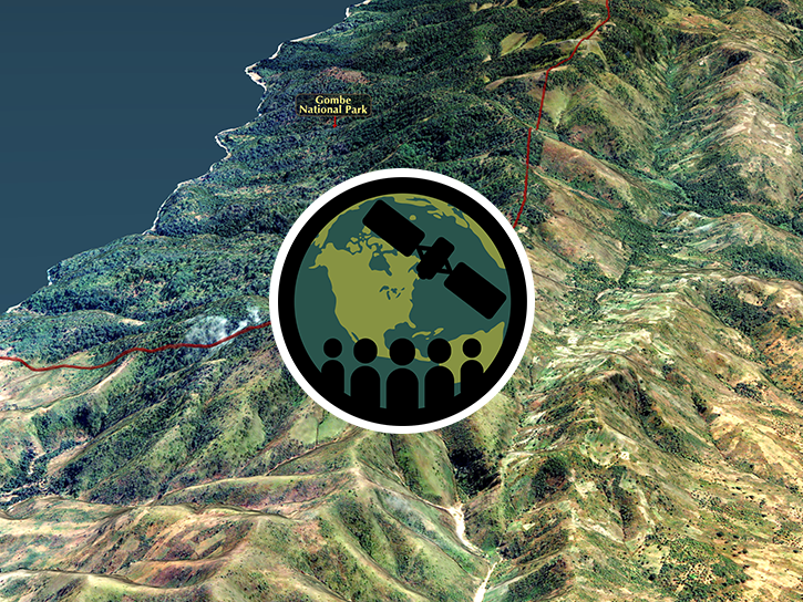
This ARSET training provides an overview of remote sensing products, tools, and applications for ecological modeling.
Training
Sept. 7-28, 2017
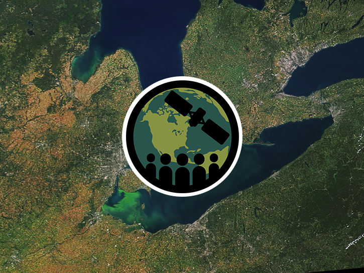
This ARSET training covers how to use remote sensing to identify impaired water quality from harmful algal blooms.
Training
Sept. 5-26, 2017
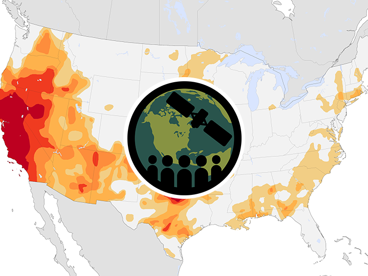
This ARSET training provides an overview of drought classification and web-based tools for drought monitoring and visualization.
Training
July 12-19, 2017
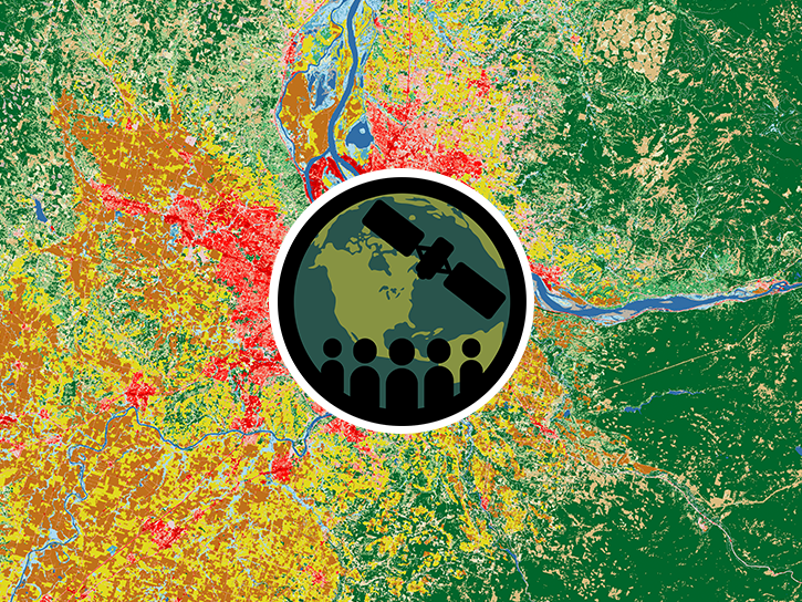
This ARSET training focuses on using satellite imagery for land cover classification.
Training
Jan. 31 - Feb. 7, 2017
SHOWING 4 OF 60
Landsat 9 News
View All News
Filters
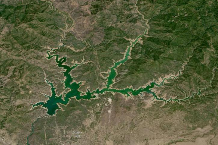
Image captured on Aug 14, 2022 by the OLI-2 instrument aboard the Landsat 9 satellite.
Worldview Image of the Week
Aug. 17, 2022

New data layer lets users cut through the smoke to see surface features like active fire fronts and post-fire impacts.
Feature Article
June 24, 2022
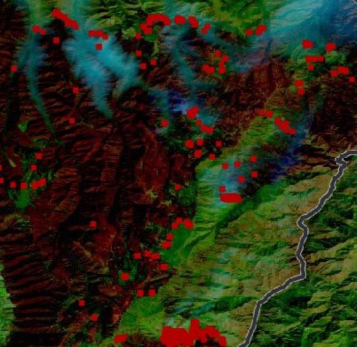
IMPACT was instrumental to a recent enhancement of NASA’s Fire Information for Resource Management System.
Blog
June 8, 2022

This Earth Day we invite you to explore global, full-resolution NASA Earth science imagery to see volcanoes erupting, wildfires spreading, tropical cyclones forming, and city lights illuminating. With NASA Worldview, you can also take a snapshot, create an animated GIF, or compare imagery from two dates to view changes over time.
Feature Article
May 17, 2022

Data from NASA’s NSIDC DAAC helps scientists like Dr. Kristin Poinar develop the next generation of models for forecasting sea-level rise from melting glaciers and ice sheets.
Data User Story
May 3, 2022

In collaboration with NASA's IMPACT project, dynamic false color imagery is now available through FIRMS to help better delineate burned areas.
Blog
April 18, 2022
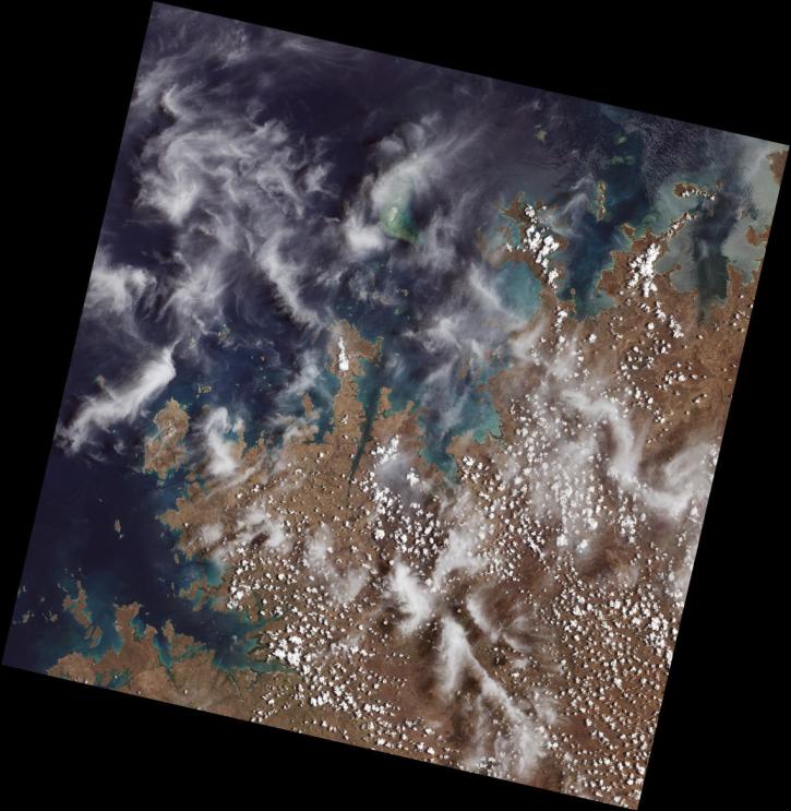
Launched September 27, Landsat 9 will provide a high-quality and reliable stream of land imaging data for the next 10-plus years.
Feature Article
Jan. 31, 2022

The Harmonized Landsat Sentinel-2 (HLS) project offers daily, 30-meter global land surface data products to facilitate a wide range of terrestrial Earth science research.
Data User Story
June 15, 2021
SHOWING 8 OF 55
Frequently Asked Questions
Earthdata Forum
Our online forum provides a space for users to browse thousands of FAQs about research needs, data, and data applications. You can also submit new questions for our experts to answer.
Submit Questions to Earthdata Forumand View Expert Responses