We are in the process of migrating all NASA Earth science data sites into Earthdata from now until end of 2026. Not all NASA Earth science data and resources will appear here until then. Thank you for your patience as we make this transition.
Read about the Web Unification Project
Landsat 9 Resources
Landsat 9 Learning Resources
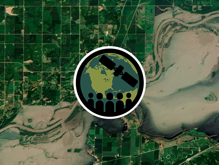
This ARSET training focuses on developments and updates in flood monitoring tools and flood modeling techniques.
Training
Sept. 14-21, 2022

This ARSET training provides hands-on exercises to measure urban heat islands and construct heat vulnerability indices.
Training
Aug. 2-11, 2022
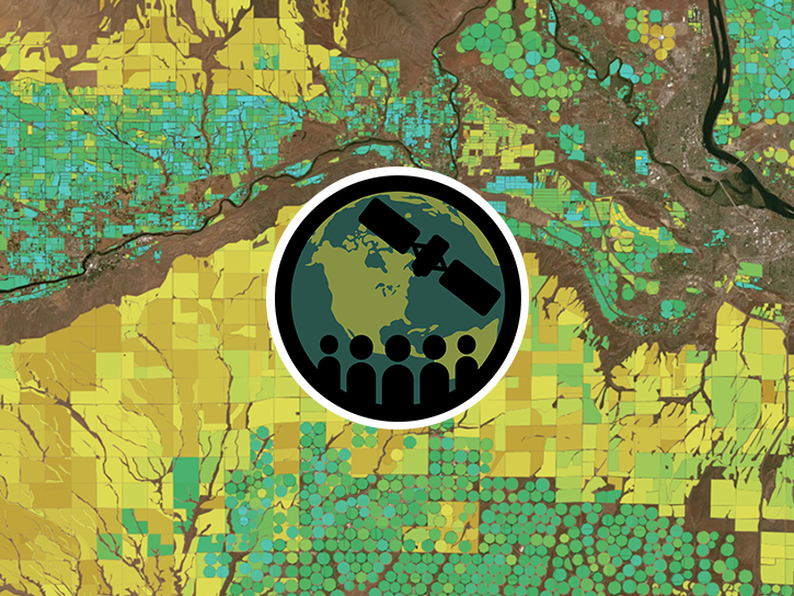
This ARSET training focuses on introducing evapotranspiration (ET) products derived from remote sensing observations.
Training
June 1-15, 2022
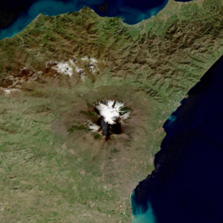
Learn about the technical details of the Harmonized Landsat Sentinel-2 (HLS) effort from NASA and ESA (European Space Agency) presenters along with data product status and availability.
Webinar
May 19, 2022
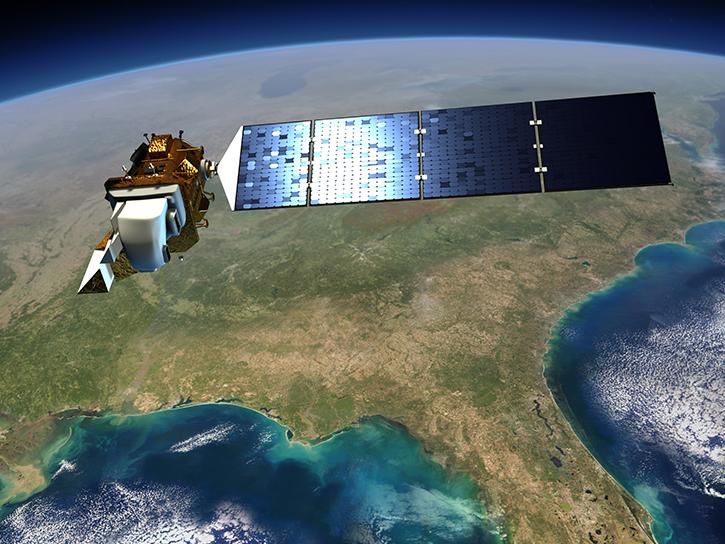
Join us for an introduction to HLS data, services, and tools.
Webinar
May 18, 2022

Join us to learn more about the new Landsat Analysis Ready Data (ARD), other improvements to the USGS Landsat archive and to hear a status update for the Landsat 9 mission
Webinar
April 20, 2022
Cette formation ARSET explique comment appliquer les données de télédétection du UN Biodiversity Lab pour la conservation et le développement durable.
Training
April 14 - May 4, 2022
Esta capacitación de ARSET cubre cómo usar datos del UN Biodiversity Lab para conservación y desarrollo sostenible.
Training
April 14 - May 4, 2022
SHOWING 8 OF 60
Landsat 9 News
View All News
Filters

Dr. Bernard Hubbard uses NASA Earth science data to help locate mineral resources and assess natural hazards.
Data User Story
April 22, 2021

Who uses NASA Earth science data? Dr. Sergio Signorini, to study the impact of climate variability on phytoplankton and Earth’s oceans.
Data User Story
April 22, 2021
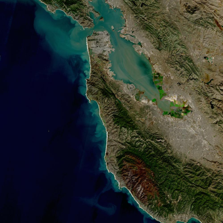
The provisional public release of the Harmonized Landsat Sentinel-2 (HLS) dataset through NASA’s LP DAAC opens new avenues for global terrestrial research.
Feature Article
April 12, 2021

Invasive species cost the U.S. economy approximately $120 billion a year and disrupt the dynamics of ecosystems. Researchers are increasingly using remote sensing to map where invasive species are and where they could spread in order to minimize their damage.
Feature Article
Feb. 25, 2021
Coastal ecosystems are some of Earth’s most biologically varied environments, especially coastal mangrove forests. Dr. Lagomasino uses Earth observing data to study these vital biomes.
Data User Story
Feb. 25, 2021

Who Uses NASA Earth Science Data? Kevin Gallo, to improve radar and satellite estimations of hail size and damage.
Data User Story
Dec. 22, 2020

Who uses NASA Earth science data? Dr. Anne Nolin, to study mountain ecosystems.
Data User Story
Dec. 22, 2020
SHOWING 7 OF 55
Frequently Asked Questions
Earthdata Forum
Our online forum provides a space for users to browse thousands of FAQs about research needs, data, and data applications. You can also submit new questions for our experts to answer.
Submit Questions to Earthdata Forumand View Expert Responses