We are in the process of migrating all NASA Earth science data sites into Earthdata from now until end of 2026. Not all NASA Earth science data and resources will appear here until then. Thank you for your patience as we make this transition.
Read about the Web Unification Project
Landsat 9 Resources
Landsat 9 Learning Resources
Find and download HLS data.
External Resource
GitHub Repository
May 1, 2024
Tutorial demonstrating how to search for, access, and process HLS data in R.
External Resource
GitHub Repository

Join us on Thursday, May 29, to learn about the NASA JPL OPERA Surface Displacement (OPERA-DISP) dataset and how to access and explore the data using ASF DAAC's Displacement Portal.
Webinar
May 14, 2025
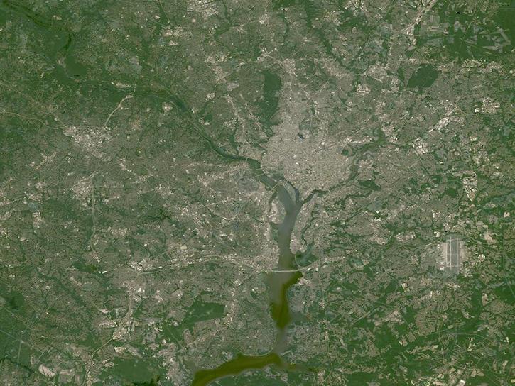
Worldview has added an “Available Imagery Dates” selector to help users find Harmonized Landsat and Sentinel-2 (HLS) imagery for their area of interest.
Tutorial
Feb. 25, 2025
Satellite Needs Working Group (SNWG) solutions, such as Harmonized Landsat and Sentinel-2 (HLS), assist agencies with their existing workflows and decision-making processes by creating actionable science.
Data in Action
Oct. 3, 2024
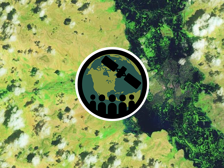
This ARSET training focuses on flood risk, heat stress, and drought effects on agricultural landscapes in refugee settings.
Training
June 6-20, 2024

This ARSET training provides an overview and demonstration of the latest version of SeaDAS 8.4.1, which is useful for remote sensing of water quality.
Training
Feb. 13, 2024
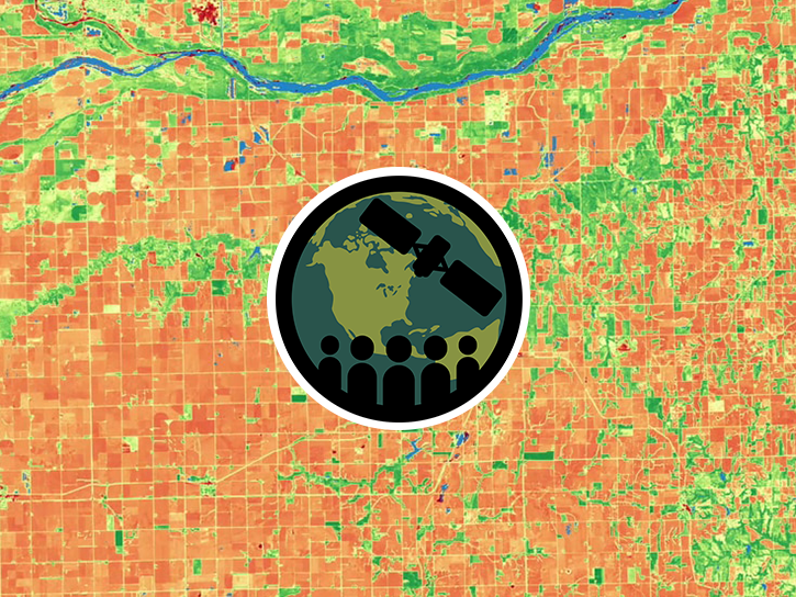
This training provides an overview of spectral indices for land and aquatic applications.
Training
Oct. 26 - Nov. 9, 2023
SHOWING 8 OF 60
Landsat 9 News
View All News
Filters
AppEEARS allows users to subset data spatially, temporally, and by layer, reducing the amount of data they need to download.
Feature Article
April 3, 2023

NASA near real-time data help Lori Schultz respond to agencies that reach out to NASA in the wake of natural disasters.
Data User Story
Jan. 31, 2023

Data from NASA’s OB.DAAC help scientists like Dr. Brice Grunert understand the processes governing carbon cycling in Earth’s ocean.
Data User Story
Dec. 21, 2022
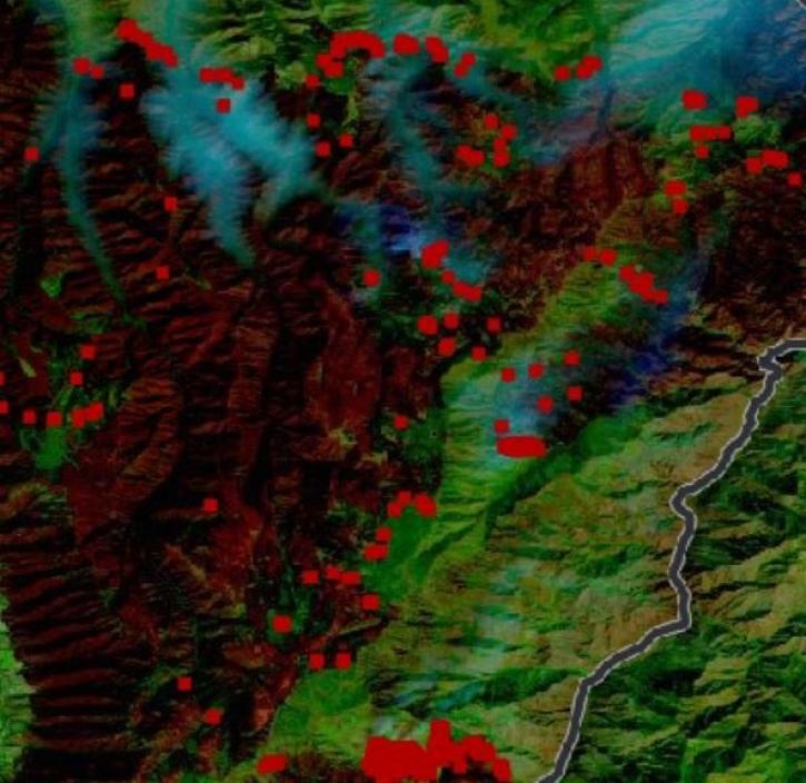
Thirty-meter data from the Operational Land Imager aboard Landsat 8 and 9 offer greater resolution than MODIS and VIIRS.
Feature Article
Oct. 31, 2022
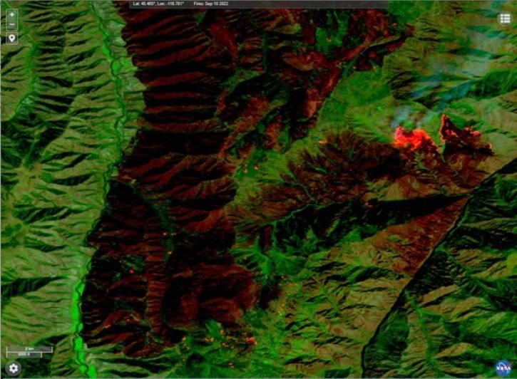
This new near real-time Landsat Fire and Thermal Anomaly active fire product is the result of an ongoing collaboration by NASA LANCE/FIRMS, University of Maryland, USDA Forest Service, and USGS EROS Data Center.
Blog
Oct. 31, 2022

Our experts break down the similarities and differences of Earth observation sensors operated by NASA.
Blog
Sept. 29, 2022
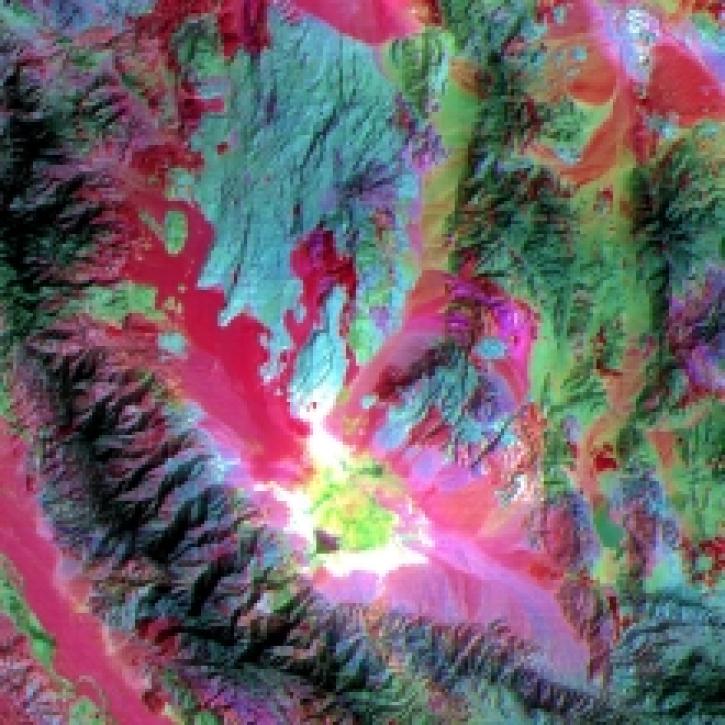
Infrared data from NASA’s satellites and other sources offer researchers views of Earth’s hidden or obscured features and processes.
Feature Article
Sept. 26, 2022
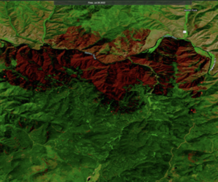
Users can now integrate HLS True Color and False Color Composite Imagery from Landsat 9 in addition to Landsat 8.
Blog
Aug. 23, 2022
SHOWING 8 OF 55
Frequently Asked Questions
Earthdata Forum
Our online forum provides a space for users to browse thousands of FAQs about research needs, data, and data applications. You can also submit new questions for our experts to answer.
Submit Questions to Earthdata Forumand View Expert Responses