We are in the process of migrating all NASA Earth science data sites into Earthdata from now until end of 2026. Not all NASA Earth science data and resources will appear here until then. Thank you for your patience as we make this transition.
Read about the Web Unification Project
Landsat 7 Resources
Landsat 7 Learning Resources
This ARSET training covers the use of remote sensing in determining and explaining urban heat islands, and ways to mitigate the effects.
Training
Nov. 10-24, 2020
This ARSET training teaches how to use earth observations to estimate water budgets for a given river basin.
Training
July 21 - Aug. 4, 2020
This ARSET training focuses on using satellite imagery for land cover classification.
Training
Jan. 31 - Feb. 7, 2017
This ARSET training covers NASA soil moisture and evapotranspiration products and how to access and apply them for water resource management.
Training
Sept. 1-29, 2016
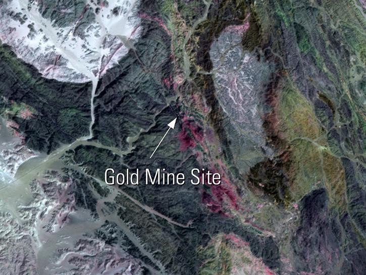
Read highlights of three publications that detail how NASA Earth observation data informs chickpea agriculture growth in India, harmful sediment plumes affecting Colombian coral reefs, and new gold sites in Egypt's Central Eastern Desert.
Data in Action
July 27, 2016
This ARSET training focuses on regional and global observation resources for conservation management.
Training
May 5 - June 2, 2015
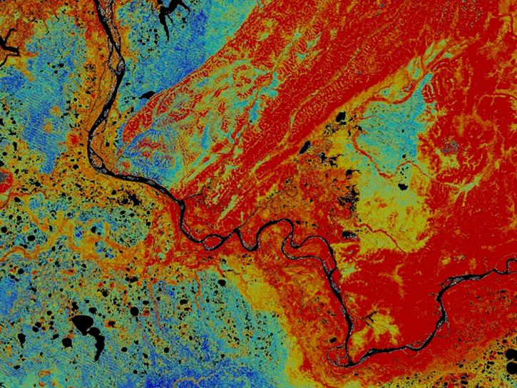
Discover how Landsat data were used map areas of the Alaskan Yukon River basin proving that land cover type was a good predictor of permafrost.
Data in Action
Dec. 10, 2014
SHOWING 7 OF 15
Landsat 7 News
View All News
Filters
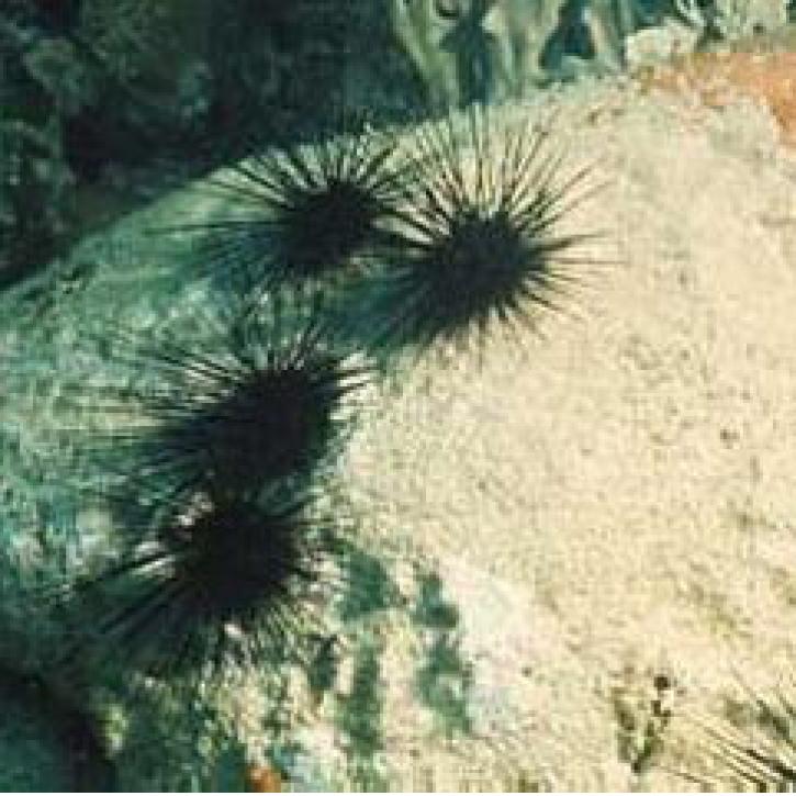
Each year, several hundred million tons of African dust are transported westward over the Atlantic to the Caribbean, Central America, and South America.
Feature Article
July 28, 2020
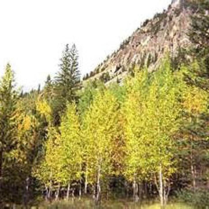
Characterizing MODIS performance involves an innovative and international collaboration of scientists.
Feature Article
July 28, 2020
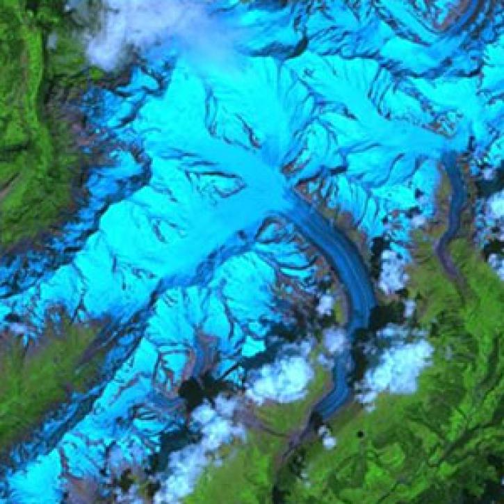
In the Alps, glaciers are retreating and disappearing every year, much to the dismay of mountain climbers, tourist agencies, and environmental researchers.
Feature Article
July 28, 2020
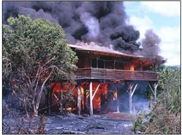
In October 2001, a volcano in the remote South Sandwich Islands began spewing ash and lava. Less than 24 hours after the eruption began, a research team nearly 9,000 miles away was estimating how much energy the volcano was producing.
Feature Article
July 28, 2020

Scientists use Landsat satellite images from LP DAAC to study a hantavirus outbreak.
Feature Article
July 22, 2020
SHOWING 5 OF 21
Frequently Asked Questions
Earthdata Forum
Our online forum provides a space for users to browse thousands of FAQs about research needs, data, and data applications. You can also submit new questions for our experts to answer.
Submit Questions to Earthdata Forumand View Expert Responses