We are in the process of migrating all NASA Earth science data sites into Earthdata from now until end of 2026. Not all NASA Earth science data and resources will appear here until then. Thank you for your patience as we make this transition.
Read about the Web Unification Project
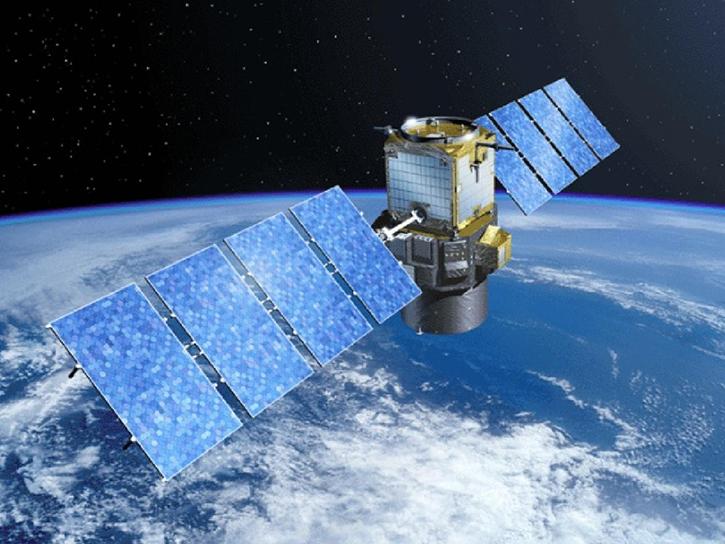
CALIPSO Resources
CALIPSO Learning Resources
Showcasing How the CALIPSO-NVF Campaign Validated the Extended Data Collection of the CALIPSO Satellite
StoryMap
Nov. 13, 2025
This ARSET training introduces users to lidar remote sensing, highlighting strengths, limitations and differences compared to passive remote sensors.
Training
June 4-11, 2025
This notebook shows how to plot the vertical distribution of ozone number density from CALIPSO using the pyhdf library for a latitudinal section.
External Resource
GitHub Repository
May 21, 2025

NASA GLOBE Clouds is an international citizen science program that collects cloud observations from participants around the world and compares them with satellite data. Learn more about the benefits and limitations of this citizen science data for scientific inquiry.
Webinar
April 15, 2022

This ARSET training provides an overview of NASA resources for monitoring climate change and its impacts.
Training
Sept. 29 - Oct. 6, 2021
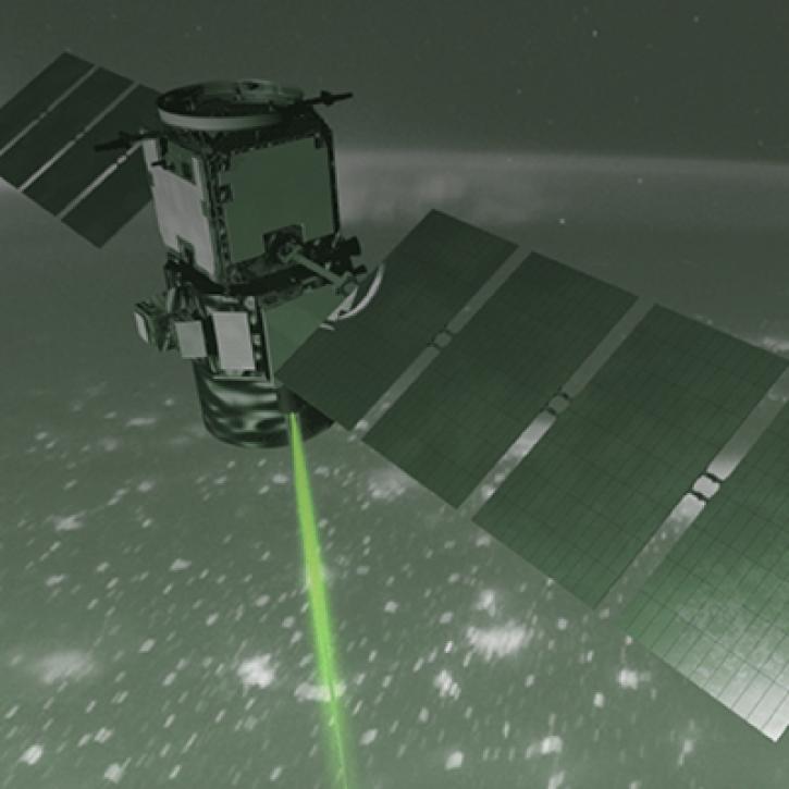
How NASA Langley Research Center is Taking Lidar to New Heights to Better Understand Our Earth
StoryMap
Dec. 1, 2020

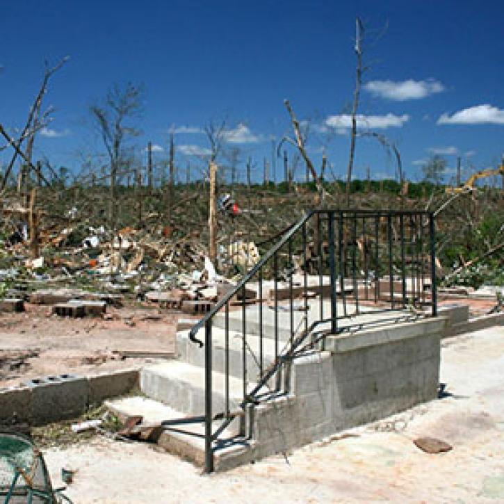
The CALIPSO satellite and the Earth Polychromatic Imaging Camera (EPIC) on NOAA’s DSCOVR satellite collected valuable data on one of the worst fires and fire seasons in California history.
Data in Action
Nov. 16, 2020
SHOWING 7 OF 7
CALIPSO News
View All News
Filters

A unique campaign allows scientists to study the effects of Saharan dust storms on Atlantic hurricane development.
Feature Article
April 19, 2021
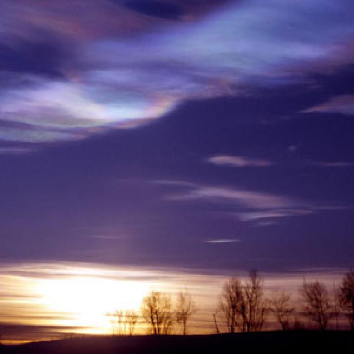
In winter 2011, an ozone hole appeared over the Arctic for the first time.
Feature Article
March 1, 2021
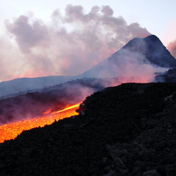
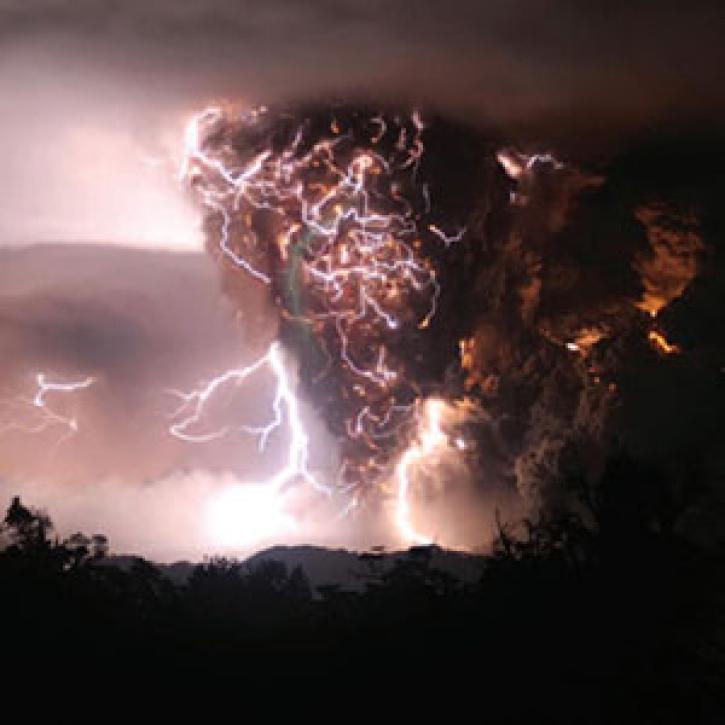
Tracking a volcanic plume reaches new heights, faster.
Feature Article
March 1, 2021
Clouds continue to portend change, but what kind?
Feature Article
Dec. 28, 2020
A train of satellites follows the atmospheric effects of a volcanic eruption.
Feature Article
Dec. 27, 2020

Who uses NASA Earth science data? Dr. Santiago Gassó, to study the concentration and global movement of dust.
Data User Story
Dec. 22, 2020

Who uses NASA Earth science data? Brian Knosp, to improve Earth observing data products and systems.
Data User Story
Dec. 22, 2020
SHOWING 8 OF 18
Frequently Asked Questions
Earthdata Forum
Our online forum provides a space for users to browse thousands of FAQs about research needs, data, and data applications. You can also submit new questions for our experts to answer.
Submit Questions to Earthdata Forumand View Expert Responses