Delivery of Suomi National Polar-orbiting Partnership (Suomi NPP) satellite data products will cease on November 1, 2026. Data users should transition now to alternative products from NOAA-21 and NOAA-20.
Suomi NPP data announcement
WindSat Resources
WindSat Learning Resources
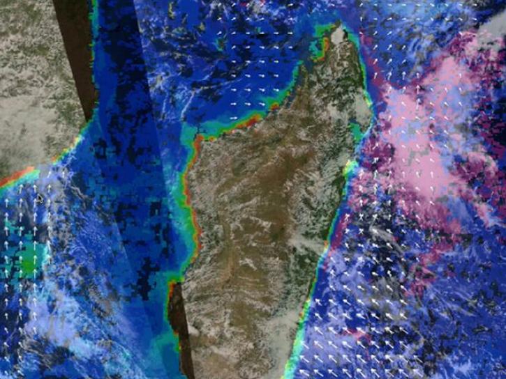
Post-storm effects included sea surface temperature cooling followed by localized chlorophyll-a blooms.
Data in Action
April 11, 2019
NASA scientists examined the sea surface temperature response associated with this 2018 hurricane.
Data in Action
Nov. 26, 2018
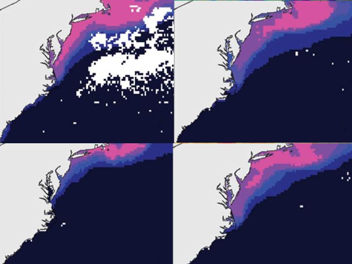
The ability to understand where fish are likely to be and when they are likely to be there is critical for the sustainable management of fisheries.
Data in Action
Feb. 1, 2018
Waves and Satellites: Effect of El Niño on Big Wave Surfing
Data in Action
Jan. 25, 2016
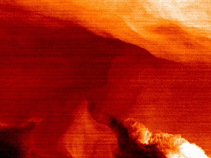
NASA’s SWOT satellite will measure sea level height variations on spatial scales down to a few kilometers.
Data in Action
Aug. 17, 2013
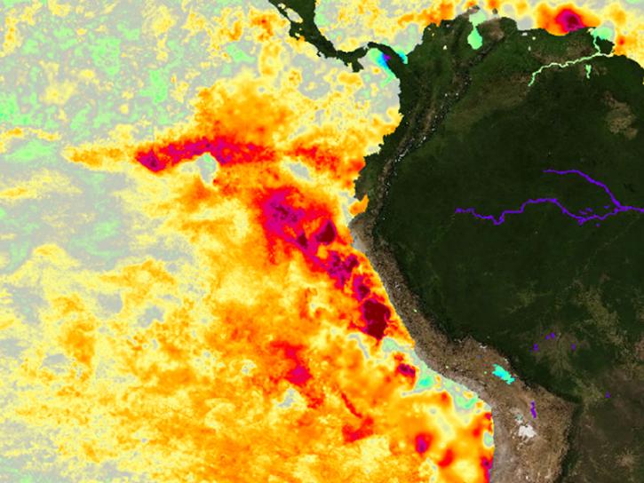
Sea surface temperature anomalies in the Eastern Pacific have shown a recent warming, a known precursor to El Niño conditions in the Equatorial Pacific.
Data in Action
May 21, 2012
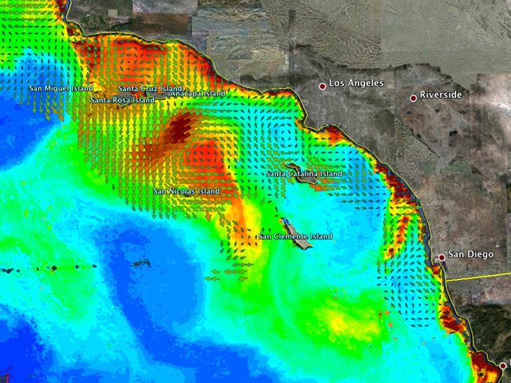
An examination of satellite data provides information on the oceanographic conditions that may have been conducive to intense algal blooms.
Data in Action
Oct. 24, 2011
SHOWING 7 OF 15
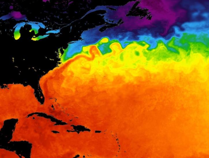
Major ocean current systems are revealed by these sea surface temperature images from June 10, 2026.
Worldview Image of the Week
June 12, 2026

Data and reanalysis models from May 2026 show signs that an El Niño event may be developing.
Worldview Image of the Week
May 29, 2026
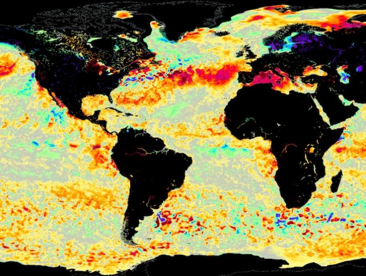
Image for June 8, 2025, from the GHRSST sea surface temperature analysis.
Worldview Image of the Week
June 9, 2025
SHOWING 3 OF 3
Get Help
QUESTIONS & SUPPORT
Have a question?
Get help with NASA Earth science data, datasets, tools, services, and metadata on the Earthdata Forum. Experienced staff in the data user community review and answer questions.
Get help on Earthdata ForumEarthdata
Forum
Forum