We are in the process of migrating all NASA Earth science data sites into Earthdata from now until end of 2026. Not all NASA Earth science data and resources will appear here until then. Thank you for your patience as we make this transition.
Read about the Web Unification Project
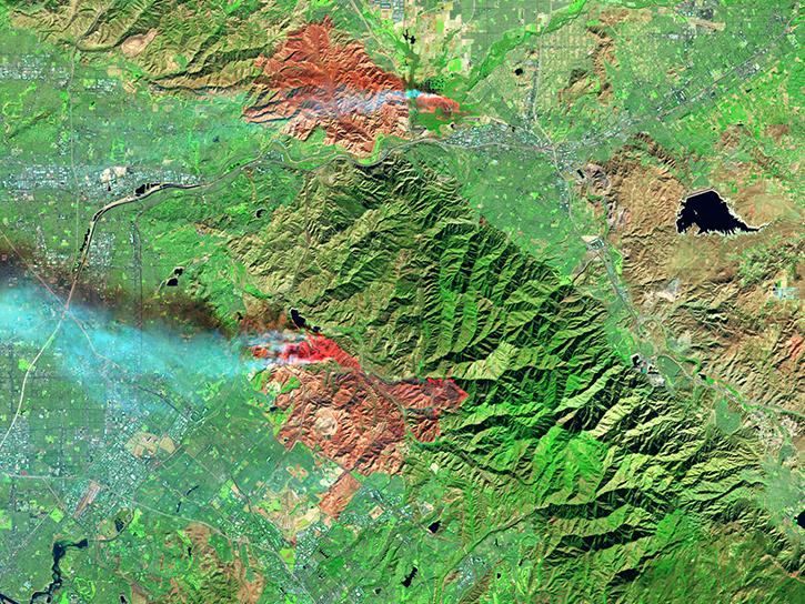
VIIRS Resources
Earthdata resources for users working with NASA’s Visible Infrared Imaging Radiometer Suite (VIIRS) data include tutorials and other learning resources, news announcements such as instrument updates and data releases, user guides and related documents, and frequently asked questions.
VIIRS Learning Resources

See how data from MODIS and VIIRS allow meteorologists to observe how a hurricane formed, where it went, how long it lasted, and its impact.
Data in Action
Oct. 19, 2017

Learn how to use Visible Infrared Imaging Radiometer Suite (VIIRS) Surface Reflectance data, including data types, scale factors, and band combinations.
Tutorial
Aug. 8, 2017

Learn about the Visible Infrared Imaging Radiometer Suite (VIIRS) instrument and how to access VIIRS Surface Reflectance data.
Tutorial
Aug. 8, 2017

Follow Superstorm Sandy's lifecycle and impacts, and how the recovery of affected ecosystems were tracked by NASA remote sensing data.
Data in Action
July 6, 2017

This ARSET training covers how to access and apply satellite data relevant to land indicators, such as estimating total forest area and forest change.
Training
June 20-22, 2017
Learn how to interpret quality information within Visible Infrared Imaging Radiometer Suite (VIIRS) Surface Reflectance data.
Tutorial
Feb. 13, 2017

This ARSET training provides an overview of the remote sensing process, data products, and their use in air quality applications.
Training
July 6 - Aug. 3, 2016

This ARSET training introduces remote sensing for coastal and ocean applications.
Training
July 6-27, 2016
SHOWING 8 OF 73

The Time Since Detection classification for MODIS and VIIRS active fire detection is available in the fire map for FIRMS Global and FIRMS US/Canada.
Blog
June 30, 2021

The Harmonized Landsat Sentinel-2 (HLS) project offers daily, 30-meter global land surface data products to facilitate a wide range of terrestrial Earth science research.
Data User Story
June 15, 2021

Image captured on 5 June 2021, by the VIIRS instrument, aboard the joint NASA/NOAA Suomi NPP satellite.
Worldview Image of the Week
June 14, 2021

FIRMS has added additional capability to integrate satellite active fire detection data as streaming web services.
Blog
June 8, 2021
SHOWING 4 OF 387
Frequently Asked Questions
Earthdata Forum
Our online forum provides a space for users to browse thousands of FAQs about research needs, data, and data applications. You can also submit new questions for our experts to answer.
Submit Questions to Earthdata Forumand View Expert Responses