VIIRS Resources

Earthdata resources for users working with NASA’s Visible Infrared Imaging Radiometer Suite (VIIRS) data include tutorials and other learning resources, news announcements such as instrument updates and data releases, user guides and related documents, and frequently asked questions.

VIIRS Learning Resources

Filters
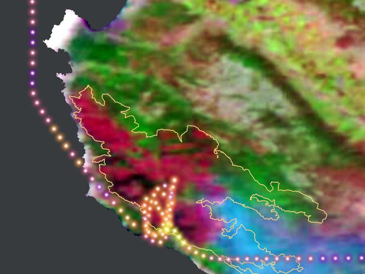
During this 2016 fire in California, the Alpha Jet Atmospheric eXperiment team collected data on ozone, formaldehyde, methane, and carbon dioxide.
StoryMap
June 5, 2026
SHOWING 8 OF 78

VIIRS News

Filters
NASA’s Land, Atmosphere Near Real-time Capability for Earth observations, better known as LANCE, is 10 years old. Here’s a look at 10 LANCE milestones over the past decade.
Feature Article
Nov. 4, 2020
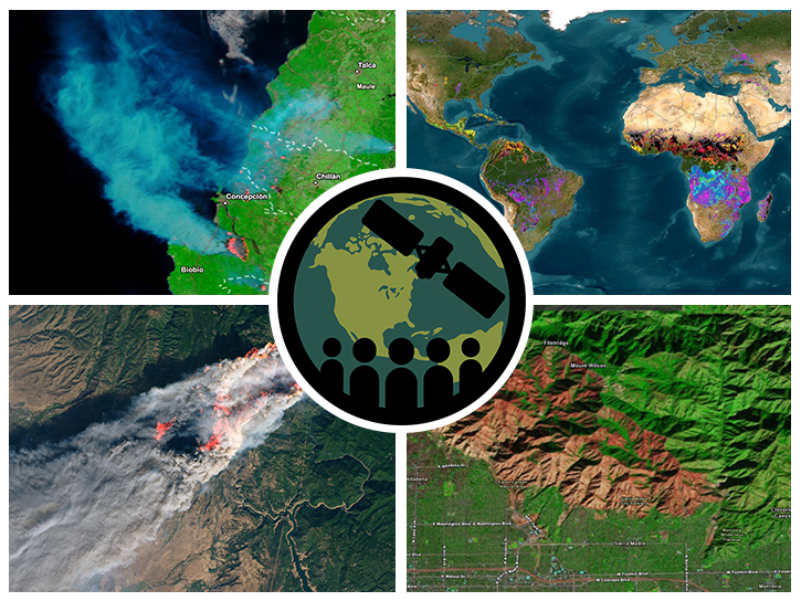
Sensors aboard Earth observing satellites and NASA’s Fire Information for Resource Management System (FIRMS) provide information about wildfires 24/7 to anyone, anywhere in the world.
Feature Article
Nov. 4, 2020
SHOWING 4 OF 399

Get Help

QUESTIONS & SUPPORT

Have a question?

Get help with NASA Earth science data, datasets, tools, services, and metadata on the Earthdata Forum. Experienced staff in the data user community review and answer questions.

Get help on Earthdata Forum
Earthdata
Forum