UAVSAR Resources

Earthdata resources for users working with NASA’s Uninhabited Aerial Vehicle Synthetic Aperture Radar (UAVSAR) data include tutorials and other learning resources, news announcements such as instrument updates and data releases, user guides and related documents, and frequently asked questions.

UAVSAR Learning Resources

Filters
SHOWING 3 OF 3

UAVSAR News

Filters
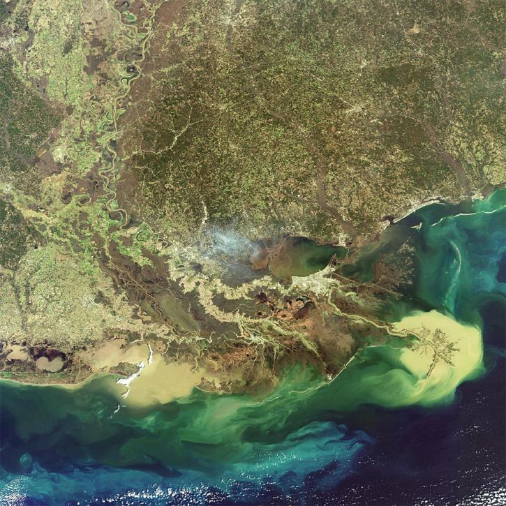
The ability for Synthetic Aperture Radar (SAR) to create high-resolution imagery regardless of atmospheric conditions makes it a key technology for studies of change over time. Dr. Paul Siqueira’s work improves these sensors and the Earth observing data they collect.
Data User Story
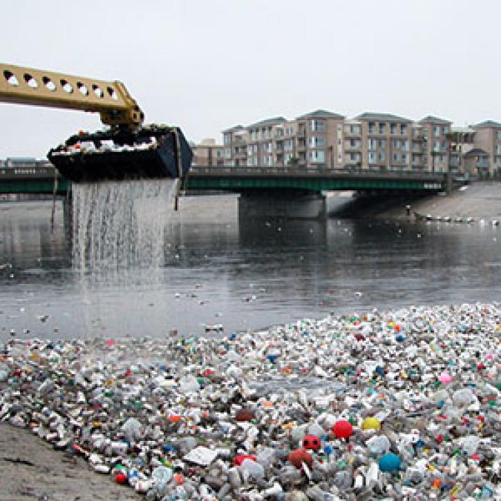
Mapping stormwater runoff in Southern California helps keep toxins at bay.
Feature Article
Dec. 28, 2020
Who uses NASA Earth science data? Dr. Piyush Agram, for developing Synthetic Aperture Radar (SAR) data products.
Data User Story
SHOWING 4 OF 17

Get Help

QUESTIONS & SUPPORT

Have a question?

Get help with NASA Earth science data, datasets, tools, services, and metadata on the Earthdata Forum. Experienced staff in the data user community review and answer questions.

Get help on Earthdata Forum
Earthdata
Forum