We are in the process of migrating all NASA Earth science data sites into Earthdata from now until end of 2026. Not all NASA Earth science data and resources will appear here until then. Thank you for your patience as we make this transition.
Read about the Web Unification Project
SSMIS Resources
Earthdata resources for users working with NASA’s Special Sensor Microwave Imager/Sounder (SSMIS) data include tutorials and other learning resources, news announcements such as instrument updates and data releases, user guides and related documents, and frequently asked questions.
SSMIS Learning Resources

Satellite passive microwave sensors provide particularly useful Earth observations as they can 'see’ through clouds and collect measurements both day and night. Join us to learn more about a new, enhanced-resolution passive microwave dataset!
Webinar
April 19, 2022
SHOWING 1 OF 1
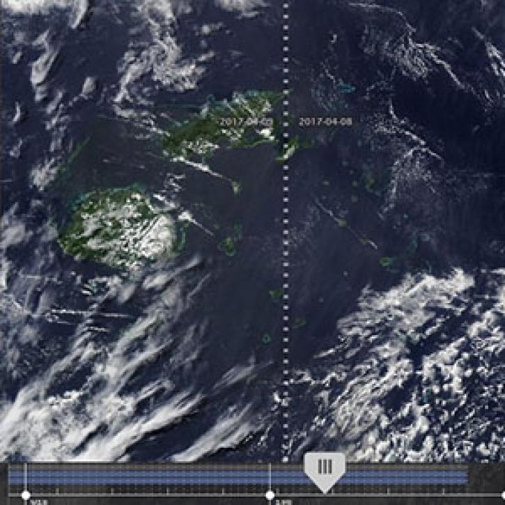
New features in Worldview 1.4.0 (along with new imagery to view using Worldview) allow you to more easily and completely explore the planet using NASA Earth science data.
Feature Article
Nov. 4, 2020

The range of data available for modeling also underscores the importance of communication among those working at the interface.
Feature Article
July 28, 2020

By the end of the 2002 season, the total area of surface melt on the Greenland Ice Sheet had broken all known records.
Feature Article
July 28, 2020

What might happen to the Antarctic food web if temperatures increase in the polar regions?
Feature Article
July 28, 2020
SHOWING 4 OF 41
Frequently Asked Questions
Earthdata Forum
Our online forum provides a space for users to browse thousands of FAQs about research needs, data, and data applications. You can also submit new questions for our experts to answer.
Submit Questions to Earthdata Forumand View Expert Responses