We are in the process of migrating all NASA Earth science data sites into Earthdata from now until end of 2026. Not all NASA Earth science data and resources will appear here until then. Thank you for your patience as we make this transition.
Read about the Web Unification Project
SRTM Resources
Earthdata resources for users working with NASA’s Shuttle Radar Topography Mission (SRTM) data include tutorials and other learning resources, news announcements such as instrument updates and data releases, user guides and related documents, and frequently asked questions.
SRTM Learning Resources

Discover how a NASA DEVELOP team used NASA Earth science remote sensing data to observe the impacts urban growth has had on the city of Huntsville, Alabama.
Data in Action
Nov. 17, 2020

This ARSET training focuses on mapping and monitoring mangroves and how it aligns with UN Sustainable Development Goals (SDGs).
Training
Nov. 5-19, 2020

NASA's Land Processes Distributed Active Archive Center (LP DAAC) provides an introduction to learning resources for the ecology community.
Webinar
Aug. 6, 2020

See how the Tennessee Valley Energy DEVELOP team used Earth observations to predict river water temperatures for managing and protecting aquatic ecosystems.
Data in Action
July 1, 2020

Learn how a NASA DEVELOP team helped create models to determine an ideal location for a jaguar corridor using NASA Earth observation data.
Data in Action
May 21, 2020

In Spring 2019 DEVELOP researchers used VIIRS and other instrument data to create models that provide fine details on drought conditions in Iowa.
Data in Action
April 13, 2020

See how a DEVELOP project team employed Earth observation data to examine and predict the location of bighorn sheep habitat in the Mojave Desert.
Data in Action
Feb. 24, 2020

This ARSET training focuses on describing NASA digital elevation data and its application in deriving river basin information using HydroSHEDS.
Training
Nov. 26, 2019
SHOWING 8 OF 32

Who uses NASA Earth science data? Deborah Balk, to create new, demographically informed methods to forecast city growth.
Data User Story
April 22, 2021
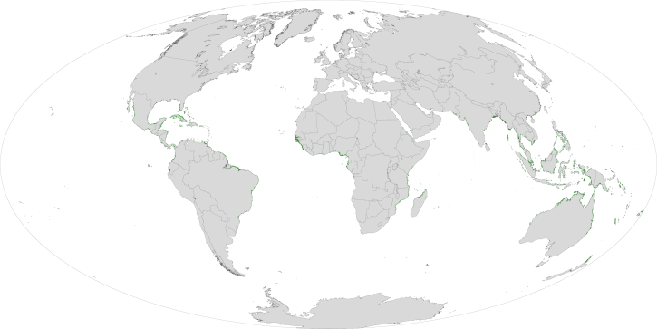
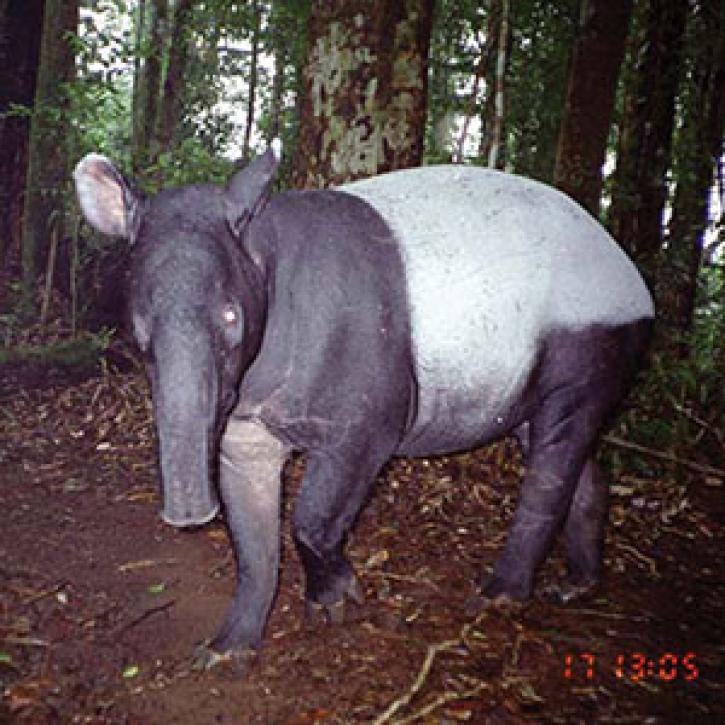
Researchers use remote sensing to measure mangrove forest extent and tree height to inform sustainable management of these ecosystems.
Feature Article
March 19, 2021

SRTMGL1 coverage now includes Africa, Europe, North America, South America, Asia, and Australia in 1° X 1° tiles at 1 arc second (about 30 meters) resolution.
News
March 1, 2021
SHOWING 4 OF 15
Frequently Asked Questions
Earthdata Forum
Our online forum provides a space for users to browse thousands of FAQs about research needs, data, and data applications. You can also submit new questions for our experts to answer.
Submit Questions to Earthdata Forumand View Expert Responses