We are in the process of migrating all NASA Earth science data sites into Earthdata from now until end of 2026. Not all NASA Earth science data and resources will appear here until then. Thank you for your patience as we make this transition.
Read about the Web Unification Project
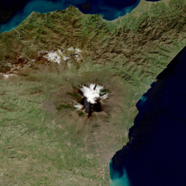
Sentinel-2 MSI Resources
Earthdata resources for users working with NASA’s Multispectral Instrument include tutorials and other learning resources, news announcements such as instrument updates and data releases, user guides and related documents, and frequently asked questions.
Sentinel-2 MSI Learning Resources

The GitHub repository, hosted by NASA's Land Processes Distributed Active Archive Center, provides a range of materials for using LP DAAC data and tools.
Tutorial
April 21, 2023

This ARSET training outlines the basics of ecosystem services and natural capital accounting.
Training
Aug. 23-30, 2022

This ARSET training focuses on using NASA data products for monitoring human settlements and landscapes during armed conflict and forced displacement.
Training
June 14-23, 2022

This ARSET training focuses on introducing evapotranspiration (ET) products derived from remote sensing observations.
Training
June 1-15, 2022
Learn about the technical details of the Harmonized Landsat Sentinel-2 (HLS) effort from NASA and ESA (European Space Agency) presenters along with data product status and availability.
Webinar
May 19, 2022
Join us for an introduction to HLS data, services, and tools.
Webinar
May 18, 2022

Near real-time monitoring of tropical storms and observations of previous hurricanes.
StoryMap
April 28, 2022

Cette formation ARSET explique comment appliquer les données de télédétection du UN Biodiversity Lab pour la conservation et le développement durable.
Training
April 14 - May 4, 2022
SHOWING 8 OF 63

A combination of Landsat and Sentinel-2 imagery, NASA near real-time data, and machine learning provides near real-time access to high-resolution water quality maps.
News
June 27, 2024

Global and US/Canada active Fire Maps enable users to visualize the location, extent, and impact of wildfires with minimal delay.
Feature Article
June 24, 2024

Data from NASA's Fire Information for Resource Management System (FIRMS) help personnel in Canada's Northwest Territories Department of Environment and Climate Change manage wildfires.
Feature Article
June 11, 2024

Data from NASA's Fire Information for Resource Management System (FIRMS) help global Indji Watch customers stay aware of natural hazards.
Feature Article
April 30, 2024
SHOWING 4 OF 66
Frequently Asked Questions
Earthdata Forum
Our online forum provides a space for users to browse thousands of FAQs about research needs, data, and data applications. You can also submit new questions for our experts to answer.
Submit Questions to Earthdata Forumand View Expert Responses