We are in the process of migrating all NASA Earth science data sites into Earthdata from now until end of 2026. Not all NASA Earth science data and resources will appear here until then. Thank you for your patience as we make this transition.
Read about the Web Unification Project
MODIS Resources
Earthdata resources for users working with NASA’s Moderate Resolution Imaging Spectroradiometer (MODIS) data include tutorials and other learning resources, news announcements such as instrument updates and data releases, user guides and related documents, and frequently asked questions.
MODIS Learning Resources

Learn how to access and use Moderate Resolution Imaging Spectroradiometer (MODIS) Vegetation Indices data.
Tutorial
April 10, 2017

Learn how to interpret Moderate Resolution Imaging Spectroradiometer (MODIS) Vegetation Indices quality data by understanding layers, decoding bits, and using tools for quality assessment.
Tutorial
April 10, 2017

Learn how to access improved Moderate Resolution Imaging Spectroradiometer (MODIS) Land Surface Temperature data via Earthdata Search, covering product details and download steps.
Tutorial
April 10, 2017

Learn how to use Moderate Resolution Imaging Spectroradiometer (MODIS) Version 6 Land Surface Temperature data, and access details about its scale factors, visualization, and related resources.
Tutorial
April 10, 2017

Learn how to interpret and utilize quality information within Moderate Resolution Imaging Spectroradiometer (MODIS) Thermal Anomalies and Fire data.
Tutorial
April 5, 2017

Learn how to use Moderate Resolution Imaging Spectroradiometer (MODIS) Thermal Anomalies and Fire data, interpret fire masks, and visualize data.
Tutorial
April 5, 2017

Learn how to access Moderate Resolution Imaging Spectroradiometer (MODIS) Thermal Anomalies and Fire data via Earthdata Search, covering product details and download steps.
Tutorial
April 5, 2017

Satellite data from NASA's MODIS instrument illustrates the relationship between snow cover and temperature and the viability of skiing conditions over time.
Data in Action
Feb. 2, 2017
SHOWING 8 OF 222
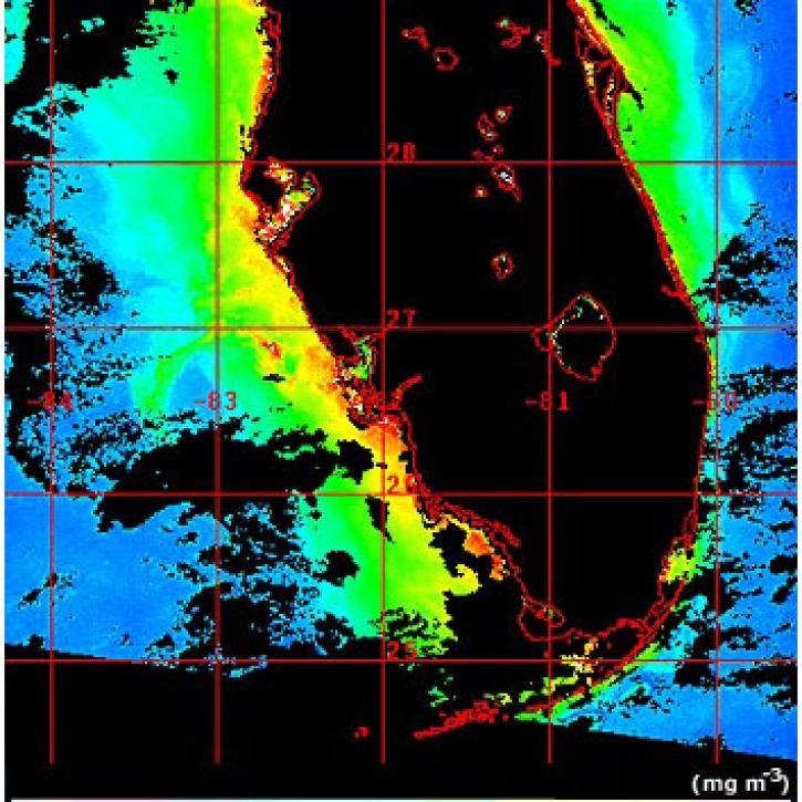
Scientists use SeaWiFS and MODIS to detect harmful algal blooms.
Feature Article
July 22, 2020

Science teams collaborate to validate MODIS land cover data, thereby improving data quality and increasing data accessibility.
Feature Article
July 22, 2020

The Larsen B Ice Shelf disintegrated within 35 days between January 31 and March 7, 2002.
Feature Article
July 22, 2020

Publication from NASA ESDIS describing research uses of data from EOSDIS - land systems can change from something desirable to something undesirable.
Feature Article
July 22, 2020
SHOWING 4 OF 527
Frequently Asked Questions
Earthdata Forum
Our online forum provides a space for users to browse thousands of FAQs about research needs, data, and data applications. You can also submit new questions for our experts to answer.
Submit Questions to Earthdata Forumand View Expert Responses