We are in the process of migrating all NASA Earth science data sites into Earthdata from now until end of 2026. Not all NASA Earth science data and resources will appear here until then. Thank you for your patience as we make this transition.
Read about the Web Unification Project
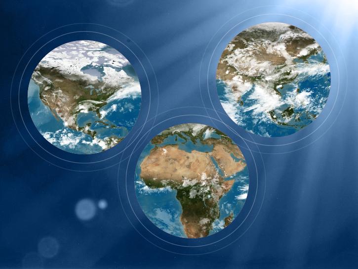
MODIS Resources
Earthdata resources for users working with NASA’s Moderate Resolution Imaging Spectroradiometer (MODIS) data include tutorials and other learning resources, news announcements such as instrument updates and data releases, user guides and related documents, and frequently asked questions.
MODIS Learning Resources

Esta capacitación de ARSET cubre técnicas para mejorar prácticas de gestión sostenible de la tierra.
Training
Feb. 5-19, 2019

This ARSET training introduces participants to the use of satellite data for conservation and biodiversity applications.
Training
Jan. 22-24, 2019

View a demonstration of the Point Sampler using the Application for Extracting and Exploring Analysis Ready Samples (AppEEARS).
Tutorial
Dec. 21, 2018
Read stories from the 2017 issue of Sensing our Planet to learn about the many uses of MODIS data distributed by LP DAAC.
Data in Action
Dec. 19, 2018
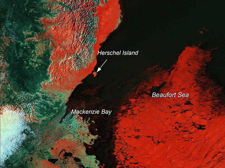
Learn how scientists use remote sensing data to study sea ice patterns to see how changes can influence weather, climate, and animal populations in these regions.
Data in Action
Dec. 6, 2018

Read stories from the 2016 issue of Sensing our Planet to learn about the many uses of MODIS data distributed by LP DAAC.
Data in Action
Nov. 28, 2018

NASA scientists examined the sea surface temperature response associated with this 2018 hurricane.
Data in Action
Nov. 26, 2018

The Application for Extracting and Exploring Analysis Ready Samples (AppEEARS) tool simplifies data access, extraction, transformation, and visualization for defined areas.
Tutorial
Nov. 9, 2018
SHOWING 8 OF 222

A summary of datasets, products, and resources released by NASA’s Distributed Active Archive Centers (DAACs) in July 2025.
News
Aug. 13, 2025
A summary of datasets, products, and resources released by NASA’s Distributed Active Archive Centers (DAACs) in June 2025.
News
July 18, 2025

Join NASA’s LAADS DAAC to learn how new tools available through Harmony services help users work with Level-1 and atmospheric datasets more efficiently.
Webinar
July 16, 2025
Researchers from Cornell's eBird project used observations from amateur birdwatchers and NASA data to better understand the decline in avian populations throughout North America.
News
June 17, 2025
SHOWING 4 OF 527
Frequently Asked Questions
Earthdata Forum
Our online forum provides a space for users to browse thousands of FAQs about research needs, data, and data applications. You can also submit new questions for our experts to answer.
Submit Questions to Earthdata Forumand View Expert Responses