We are in the process of migrating all NASA Earth science data sites into Earthdata from now until end of 2026. Not all NASA Earth science data and resources will appear here until then. Thank you for your patience as we make this transition.
Read about the Web Unification Project
MODIS Resources
Earthdata resources for users working with NASA’s Moderate Resolution Imaging Spectroradiometer (MODIS) data include tutorials and other learning resources, news announcements such as instrument updates and data releases, user guides and related documents, and frequently asked questions.
MODIS Learning Resources

This ARSET training focuses on integrating NASA Earth observations into water quality monitoring decision-making processes.
Training
June 5-19, 2019

Discover how a NASA DEVELOP team assessed and mapped changes in the risk of wildfires following a beetle infestation.
Data in Action
April 24, 2019

Esta capacitación de ARSET cubre cómo usar datos de la NASA para caracterizar eventos de desastres y apoyar esfuerzos de ayuda.
Training
April 16-30, 2019
This ARSET training shows how NASA remote sensing data can be used to characterize and monitor disaster-related events and support relief efforts.
Training
April 16-30, 2019

This ARSET training introduces the ecological applications of time series analysis.
Training
April 15-17, 2019

Post-storm effects included sea surface temperature cooling followed by localized chlorophyll-a blooms.
Data in Action
April 11, 2019

This ARSET training introduces using satellite data and Earth system modeling data sources to estimate surface water budgets.
Training
March 13 - April 3, 2019

Esta capacitación de ARSET cubre técnicas para mejorar las prácticas de gestión sostenible de la tierra.
Training
Feb. 5-19, 2019
SHOWING 8 OF 222
FIRMS was used to track the spread of smoke plumes during the Canadian wildland fires in June 2025.
Blog
June 17, 2025
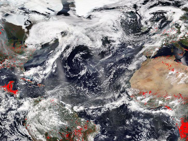
Image captured June 10, 2025, by the MODIS and AIRS instruments aboard the Aqua platform.
Worldview Image of the Week
June 13, 2025
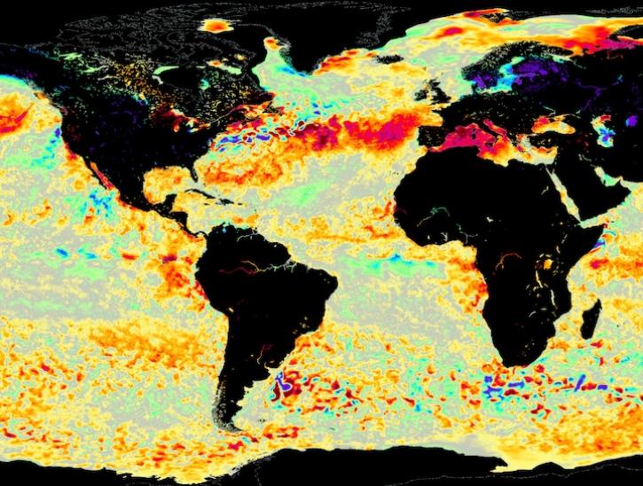
Image for June 8, 2025, from the GHRSST sea surface temperature analysis.
Worldview Image of the Week
June 9, 2025

Annual prescribed burns are crucial for improving and maintaining pasture and crop land health, and remote sensing data provides near real-time information on location and air quality.
News
June 6, 2025
SHOWING 4 OF 527
Frequently Asked Questions
Earthdata Forum
Our online forum provides a space for users to browse thousands of FAQs about research needs, data, and data applications. You can also submit new questions for our experts to answer.
Submit Questions to Earthdata Forumand View Expert Responses