KaRIn Resources

Read the latest Ka-band Radar Interferometer (KaRIn) news and access learning resources designed to help you optimize your Earth science research.

KaRIn Learning Resources

Filters
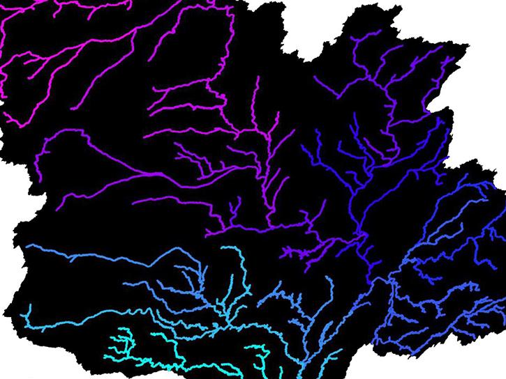
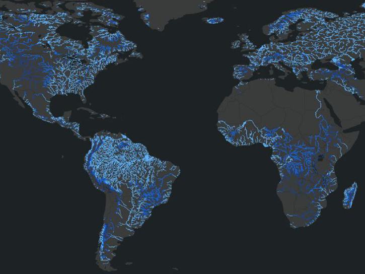
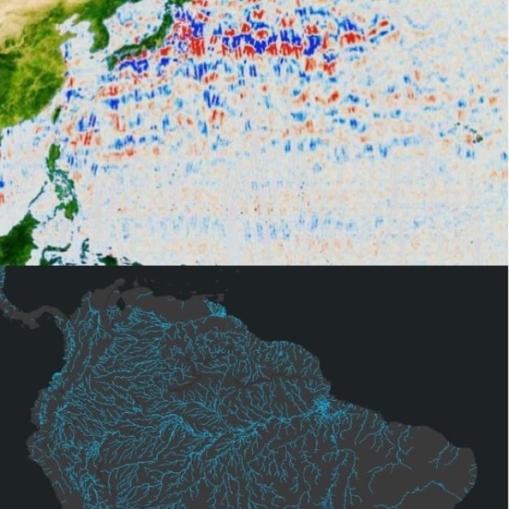
The SWOT Rivers Feature Service is available in both the ArcGIS REST Endpoints and Open Geospatial Consortium (OGC) Endpoints.
External Resource
GitHub Repository
March 29, 2023
Learn how to discover, access, and use Surface Water and Ocean Topography (SWOT) mission data and how these data can lead to new, innovative science and applications in the world of water.
Webinar
March 6, 2024
SHOWING 8 OF 13

KaRIn News

Filters
Careful calibration and validation ensure that the Surface Water and Ocean Topography mission will provide the best data possible.
Feature Article
March 17, 2023
Data from NASA’s PO.DAAC help scientists like Dr. Jida Wang monitor the state of surface water resources around the globe.
Data User Story
SHOWING 4 OF 28

Get Help

QUESTIONS & SUPPORT

Have a question?

Get help with NASA Earth science data, datasets, tools, services, and metadata on the Earthdata Forum. Experienced staff in the data user community review and answer questions.

Get help on Earthdata Forum
Earthdata
Forum