N: 90 S: -90 E: 180 W: -180
Description
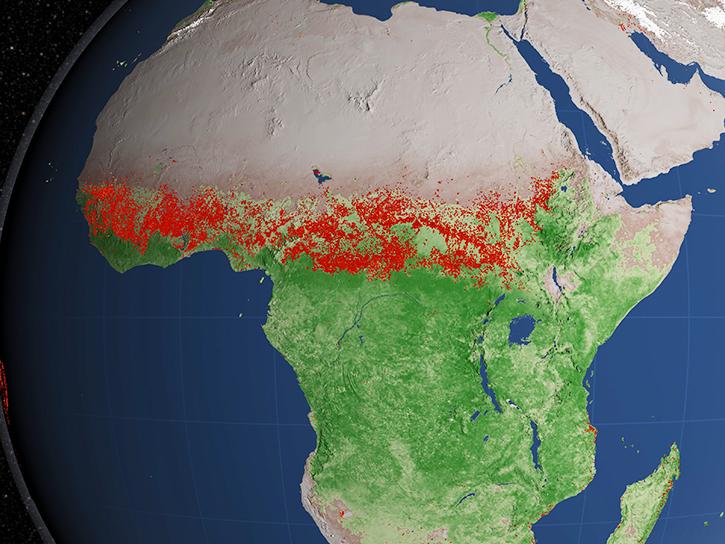
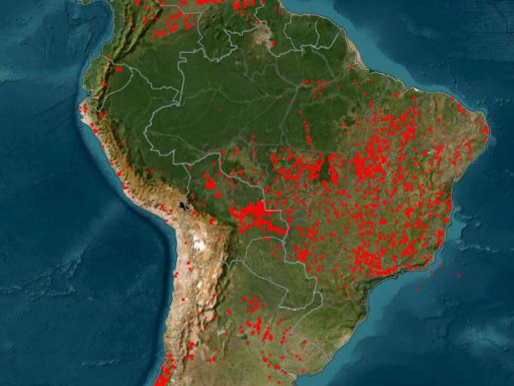
The Terra Moderate Resolution Imaging Spectroradiometer (MODIS) Thermal Anomalies and Fire Daily (MOD14A1) Version 6.1 data are generated every eight days at 1 kilometer (km) spatial resolution as a Level 3 product. MOD14A1 contains eight consecutive days of fire data conveniently packaged into a single file.
The Science Dataset (SDS) layers include the fire mask, pixel quality indicators, maximum fire radiative power (MaxFRP), and the position of the fire pixel within the scan. Each layer consists of daily per pixel information for each of the eight days of data acquisition.
Known Issues
- For complete information about known issues please refer to the MODIS/VIIRS Land Quality Assessment website.
Version Description
Product Summary
Citation
Citation is critically important for dataset documentation and discovery. This dataset is openly shared, without restriction, in accordance with the EOSDIS Data Use and Citation Guidance.
Copy Citation
File Naming Convention
The file name begins with the Product Short Name (MOD14A1) followed by the Julian Date of Acquisition formatted as AYYYYDDD (A2025209), the Tile Identifier which is horizontal tile and vertical tile provided as hXXvYY (h13v09), the Version of the data collection (061), the Julian Date and Time of Production designated as YYYYDDDHHMMSS (2025217235634), and the Data Format (hdf).
Documents
USER'S GUIDE
ALGORITHM THEORETICAL BASIS DOCUMENT (ATBD)
PRODUCT QUALITY ASSESSMENT
SCIENCE DATA PRODUCT VALIDATION
Dataset Resources
Publications Citing This Dataset
Variables
Variables are a set of physical properties whose values determine the characteristics or behavior of something. For example, temperature and pressure are variables of the atmosphere. Parameters and variables can be used interchangeably. Variable level attributes provide individual information for each variable.
The Name in this table is the variable name. Fill value indicates missing or undefined data points in a variable. Valid range is the range of values the variable can store. Scale factor is used to increase or decrease the size of an object and can be used to correct for distortion. For questions on a specific variable, please use the Earthdata Forum.
| Name Sort descending | Description | Units | Data Type | Fill Value | Valid Range | Scale Factor |
|---|---|---|---|---|---|---|
| FireMask | Confidence of fire | Class Flag | uint8 | 0 | 1 to 9 | N/A |
| MaxFRP | Maximum Fire Radiative Power | Megawatts | uint32 | 0 | 0 to 180000 | 0.1 |
| QA | Pixel Quality Indicators | Bit Field | uint8 | N/A | 0 to 6 | N/A |
| Sample | Position of fire pixel within scan | Number | uint16 | N/A | 0 to 1353 | N/A |


