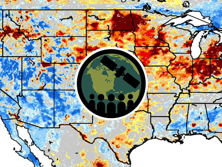
Delivery of Suomi National Polar-orbiting Partnership (Suomi NPP) satellite data products will cease on November 1, 2026. Data users should transition now to alternative products from NOAA-21 and NOAA-20.
Suomi NPP data announcement
Platforms
COMPUTERS
Spatial Extent
N: 52.915 S: 24.396 E: -66.885 W: -124.925
Location
UNITED STATES OF AMERICA
Coordinate System
CARTESIAN
Granule Spatial Representation
CARTESIAN
Temporal Extent
1981-01-01 to 2025-12-31
Data Partner
Global Hydrometeorology Resource Center, Marshall Space Flight Center, NASA (NASA/MSFC/GHRC)
Concept ID
C3607165585-GHRC_DAAC
Data State
COMPLETE
Number of Files/Granules
2412778
Processing Level
4
Science Keywords