We are in the process of migrating all NASA Earth science data sites into Earthdata from now until end of 2026. Not all NASA Earth science data and resources will appear here until then. Thank you for your patience as we make this transition.
Read about the Web Unification Project
ODPS SIPS Learning Resources
Webinars, tutorials, data recipes and more to help you work with ODPS SIPS.
Filters

Researchers used remote sensing to investigate how subsurface ocean temperature variations have changed glaciers over the past 30 years.
Data in Action
Jan. 20, 2021
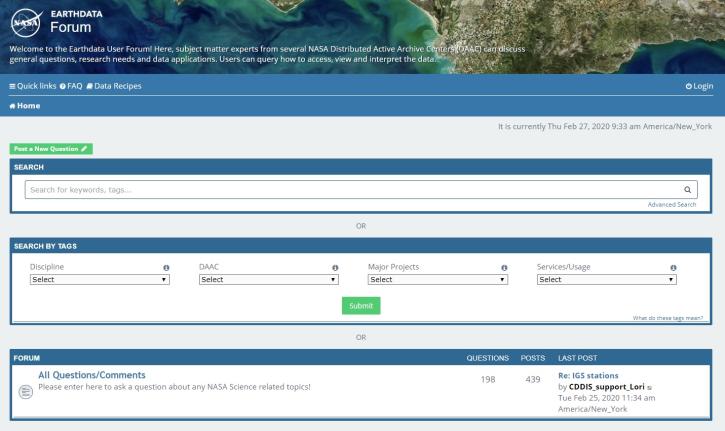
Join us for an introduction to the Earthdata Forum, a hub for submitting your questions about NASA Earth science data, services, and tools and for finding answers on how to discover and use the data distributed by the DAACs represented on the Earthdata Forum.
Webinar
Nov. 23, 2020

Charting global mean sea level rise since 1900.
Data in Action
Nov. 19, 2020

Explore sea surface temperature anomalies in the Gulf of America before, during, and after Tropical Cyclones Laura and Marco with NASA's MUR SST dataset.
Data in Action
Sept. 10, 2020

Researchers used CYGNSS data to track the evolution of weather systems.
Data in Action
May 26, 2020

View the agenda and access presentation slides from the NASA Ocean Biology and Biogeochemistry Group 2020 meeting.
Event
May 26, 2020

Researchers used NASA satellite data to improve water resource management in South and Southeast Asia.
Data in Action
May 13, 2020

Evaluating the evolution of ocean response to the 2019 Atlantic tropical cyclones.
Data in Action
April 2, 2020
SHOWING 8 OF 134