We are in the process of migrating all NASA Earth science data sites into Earthdata from now until end of 2026. Not all NASA Earth science data and resources will appear here until then. Thank you for your patience as we make this transition.
Read about the Web Unification Project
OBPG News
Articles, resources, and announcements from OBPG.
Filters

Who uses NASA Earth science data? Dr. John Wilkin, to study coastal ocean circulation, marine ecosystem processes, and the occasional rock lobster.
Data User Story
Dec. 22, 2020

Who uses NASA Earth science data? Dr. Joan Ramage, to study glaciers and snowmelt.
Data User Story
Dec. 22, 2020

Who uses NASA Earth science data? David Mocko, for using land-surface models to study drought.
Data User Story
Dec. 22, 2020
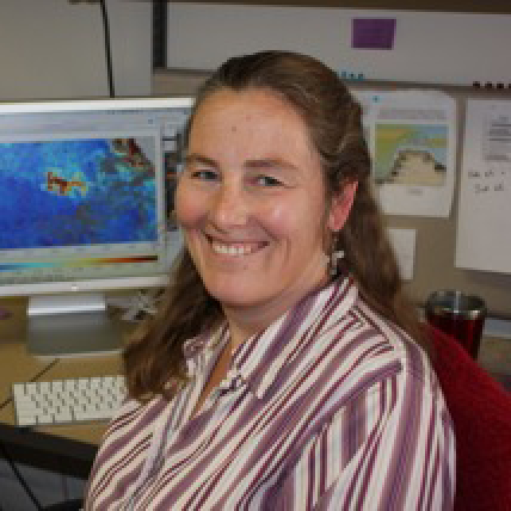
Who uses NASA Earth science data? Cara Wilson, to better understand the possible connection between harmful algal blooms and southern right whale mortality.
Data User Story
Dec. 22, 2020

Who uses NASA Earth science data? Ben Holt, to study polar sea ice, coastal oceanography, and marine pollution
Data User Story
Dec. 21, 2020

Interactively explore your world your way with nearly 20 years of MODIS global imagery and the EOSDIS Worldview data visualization application.
Feature Article
Nov. 4, 2020
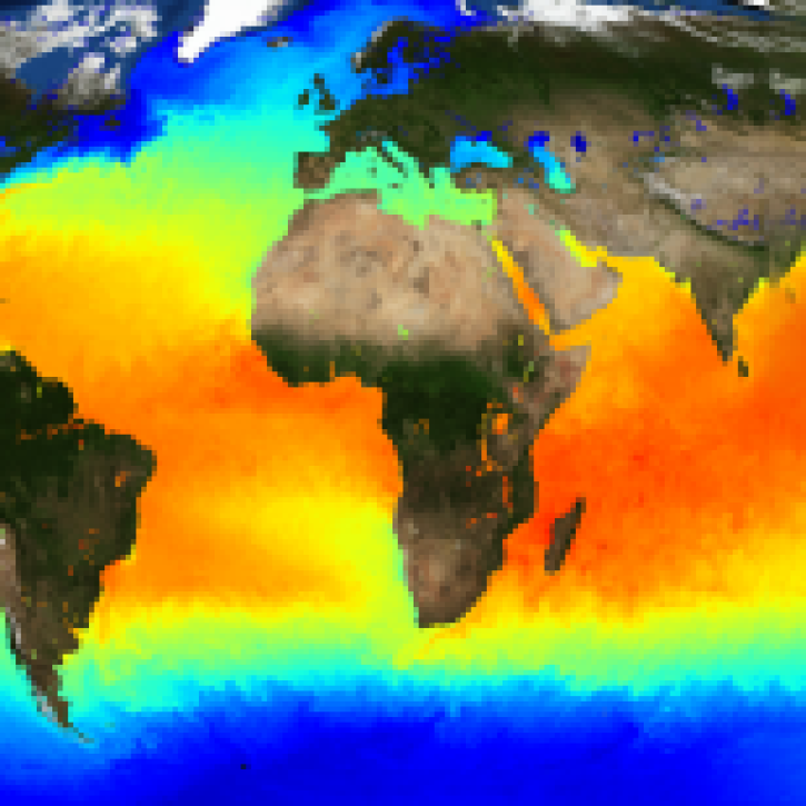
The public release of the NAVO GHRSST Level 4 K10-SST GDS2.0 product provides global daily analyzed SST at a 1-meter reference depth.
News
Nov. 4, 2020

Since 1999, NASA’s Terra Earth observing satellite has completed more than 100,000 orbits. The instrument data from this workhorse satellite has resulted in one of the longest continuous data records of our planet ever recorded from space.
Feature Article
Nov. 4, 2020
SHOWING 8 OF 238