We are in the process of migrating all NASA Earth science data sites into Earthdata from now until end of 2026. Not all NASA Earth science data and resources will appear here until then. Thank you for your patience as we make this transition.
Read about the Web Unification Project
OBPG News
Articles, resources, and announcements from OBPG.
Filters

The Help Hub hosted by NASA's Ocean Biology Distributed Active Archive Center (OB.DAAC) has been updated with new learning resources for processing ocean color satellite data, working with Plankton, Aerosol, Cloud, ocean Ecosystem (PACE) data, and more.
News
Jan. 15, 2025
NASA's Physical Oceanography Distributed Active Archive Center (PO.DAAC) and Jet Propulsion Laboratory (JPL) are experiencing operational outages that may affect data processing.
News
Jan. 9, 2025

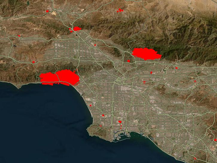
To celebrate GIS Day, take a peek at these illuminating examples of NASA Earth Science leveraging Geographic Information Systems (GIS) to understand our home planet.
News
Nov. 20, 2024

A summary of datasets, products, and resources released by NASA’s Distributed Active Archive Centers (DAACs) in October 2024.
News
Nov. 4, 2024

Sentinel-1 synthetic aperture radar (SAR) data are used to create maps of surface water extent for research, planning, and disaster response.
News
Oct. 28, 2024
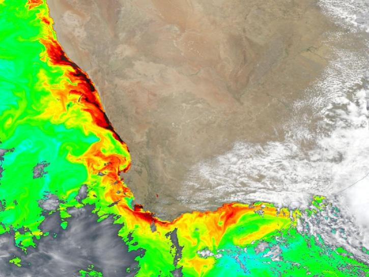
Dark colors indicate high chlorophyll concentrations in this image captured on Oct 22, 2024, by the Ocean Color Instrument (OCI) instrument.
Worldview Image of the Week
Oct. 25, 2024

Hydrocron, an API for time series retrievals of hydrology data products from the Surface Water and Ocean Topography (SWOT) mission, is now available.
News
Oct. 22, 2024

The SWOT On-Demand Level 2 Raster Generation System (SWODLR) for Surface Water and Ocean Topography (SWOT) data is now part of Earthdata Search.
News
Oct. 9, 2024
SHOWING 8 OF 238