We are in the process of migrating all NASA Earth science data sites into Earthdata from now until end of 2026. Not all NASA Earth science data and resources will appear here until then. Thank you for your patience as we make this transition.
Read about the Web Unification Project
OBPG News
Articles, resources, and announcements from OBPG.
Filters
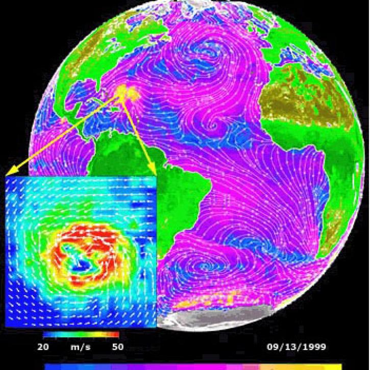
Data from NASA satellites allow researchers to detect potential hurricanes up to two days earlier than with traditional forecasting methods.
Feature Article
July 22, 2020
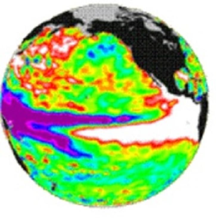
TOPEX/Poseidon measured the gradual build-up of warm water in the easter equatorial Pacific.
Feature Article
July 22, 2020

An ocean general circulation model produces sea level and temperature responses to four separate events.
Feature Article
July 21, 2020

The TOPEX and Poseidon satellites monitor ocean surface topography.
Feature Article
July 21, 2020

The Distributed Oceanographic Data System (DODS) uses the internet to find and obtain oceanographic data.
Feature Article
July 21, 2020

Ocean color data from the SeaWiFS and MODIS sensors enable researchers to examine the link between phytoplankton blooms and fish and bird health.
Feature Article
July 21, 2020

Assimilation of TOPEX/Poseidon data into a model of the North Atlantic.
Feature Article
July 21, 2020

A dataset with digital elevation models (DEMs) of the Greenland Ice Sheet is the latest release from NASA’s Oceans Melting Greenland (OMG) mission.
News
July 9, 2020
SHOWING 8 OF 242