We are in the process of migrating all NASA Earth science data sites into Earthdata from now until end of 2026. Not all NASA Earth science data and resources will appear here until then. Thank you for your patience as we make this transition.
Read about the Web Unification Project
AMSR SIPS Learning Resources
Webinars, tutorials, data recipes and more to help you work with AMSR SIPS.
Filters

Use a Python script to convert Infrared Global Geostationary Composite McIDAS data into PNG format and display the infrared composite as an image outside of McIDAS software.
Data Recipe
Dec. 1, 2022

Join us on October 26-27, 2022, for the Data Workshop for Investigation of Microphysics and Precipitation for Atlantic Coast-Threatening Snowstorms (IMPACTS).
Event
Oct. 26, 2022

Join us for a tour of enhanced data product landing pages, new user resources, data visualization tools, and a Jupyter Notebook tutorial to access cryospheric data at NSIDC DAAC.
Webinar
Aug. 16, 2022
Join us to explore cloud-based data discovery, access, visualization, and analysis services at NASA's Global Hydrometeorology Resource Center Distributed Active Archive Center.
Webinar
May 18, 2022
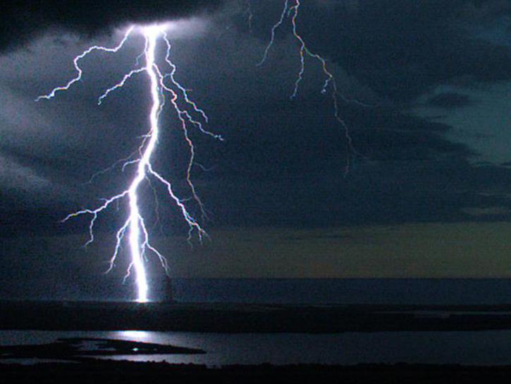
Join us to learn how the new International Space Station (ISS) Lightning Imaging Sensor (LIS) data can be used within Python, GIS and other applications to study lightning that occurred during the 2017 hurricane season.
Webinar
April 20, 2022

NASA’s Operation IceBridge airborne mission has flown over 700 flights through some of the most stunning regions of the Arctic and Antarctic. Join us to learn how to discover and access data that “bridges” the gap between the ICESat and ICESat-2 missions.
Webinar
April 19, 2022

Join us for an interactive overview of tools and resources at NASA's Global Hydrometeorology Resource Center DAAC for accessing data related to hazardous weather, its governing dynamical and physical processes, and associated applications.
Webinar
April 19, 2022
Satellite passive microwave sensors provide particularly useful Earth observations as they can 'see’ through clouds and collect measurements both day and night. Join us to learn more about a new, enhanced-resolution passive microwave dataset!
Webinar
April 19, 2022
SHOWING 8 OF 67