Surface Radiative Properties Data Access and Tools
Access the datasets and tools you need to make the most of surface radiative properties research.
Table of contents
Surface Radiative Properties Datasets
Pagination
SHOWING 10 OF 1113
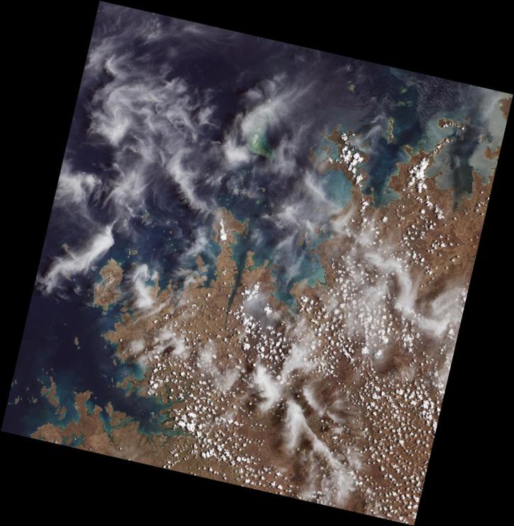
Featured Surface Radiative Properties Observation Method: OLI
The Operational Land Imager (OLI) flies aboard NASA's Landsat 8 satellite, and an identical instrument, OLI-2, flies aboard Landsat 9. It measures in the visible, near infrared, and shortwave infrared portions of the spectrum, covering wide areas of Earth's landscape. Data products derived from OLI include a surface reflectance product.
Use NASA's Application for Extracting and Exploring Analysis Ready Samples (AppEEARS) tool to access data for an area of interest.
Launched September 27, Landsat 9 will provide a high-quality and reliable stream of land imaging data for the next 10-plus years.
10 MIN READ
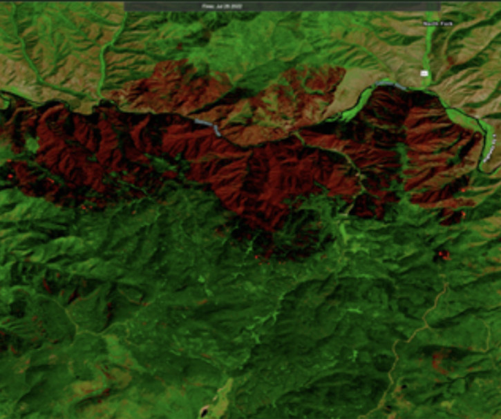
Users can now integrate HLS True Color and False Color Composite Imagery from Landsat 9 in addition to Landsat 8.
Our experts break down the similarities and differences of Earth observation sensors operated by NASA.
Surface Radiative Properties Data Tools
| Tool Sort descending | Description | Services | |
|---|---|---|---|
| Earthdata Search | Earthdata Search enables data discovery, search, comparison, visualization, and access across NASA’s Earth science data holdings. | Search and Discovery, Access, Cataloging, Cloud Computing, Downloading |
SHOWING 1 OF 1
Frequently Asked Questions
Earthdata Forum
Our online forum provides a space for users to browse thousands of FAQs about research needs, data, and data applications. You can also submit new questions for our experts to answer.
Submit Questions to Earthdata Forumand View Expert Responses


