NASA has soil moisture and water content datasets that help researchers characterize the condition of soil around the world. Access a range of data and data tools such as the Soil Moisture Visualizer, Crop Condition and Soil Moisture Analytics (Crop-CASMA), and AppEEARS to make the most of soil moisture data.
Soil Moisture/Water Content Data Access and Tools
Soil Moisture/Water Content Datasets
| Dataset Sort descending | Version | Platform | Instrument | Temporal Extent | Spatial Extent | Spatial Resolution | Data Format |
|---|---|---|---|---|---|---|---|
| WindSat/Coriolis surface soil moisture (LPRM) L3 1 day 25 km x 25 km daytime V001 (LPRM_WINDSAT_DY_SOILM3) | 001 | CORIOLIS | WINDSAT | 2003-02-01 to 2012-08-01 |
N: 83 S: -64 E: 180 W: -180 |
25 Kilometers x 25 Kilometers | |
| WindSat/Coriolis surface soil moisture (LPRM) L3 1 day 25 km x 25 km nighttime V001 (LPRM_WINDSAT_NT_SOILM3) | 001 | CORIOLIS | WINDSAT | 2003-02-01 to 2012-08-01 |
N: 83 S: -64 E: 180 W: -180 |
25 Kilometers x 25 Kilometers | |
| WLDAS Noah-MP 3.6 Land Surface Model L4 Daily 0.01 degree x 0.01 degree Version D1.0 (WLDAS_NOAHMP001_DA1) at GES DISC | D1.0 | Noah-MP-LSM | NOT APPLICABLE | 1979-01-02 to 2024-01-01 |
N: 52.925 S: 25.065 E: -89.025 W: -124.925 |
0.01 Decimal Degrees x 0.01 Decimal Degrees |
Featured Observation Method: SMAP
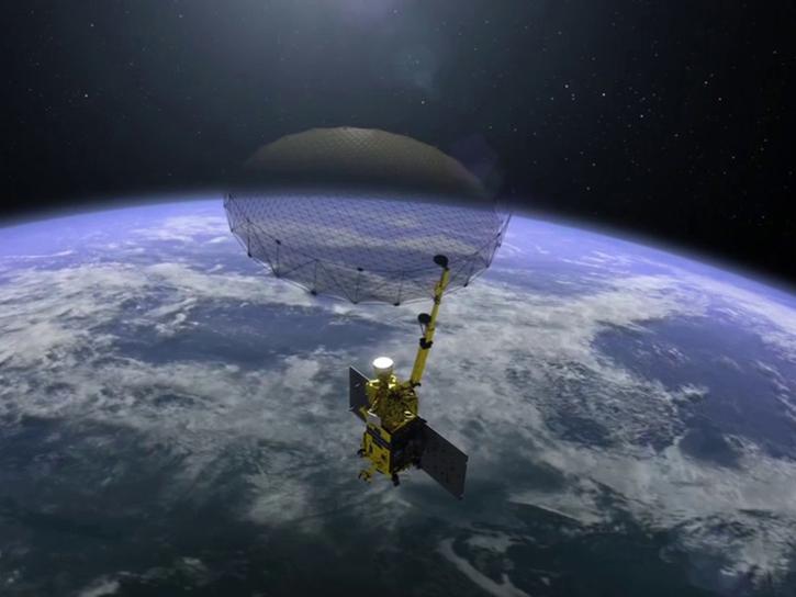
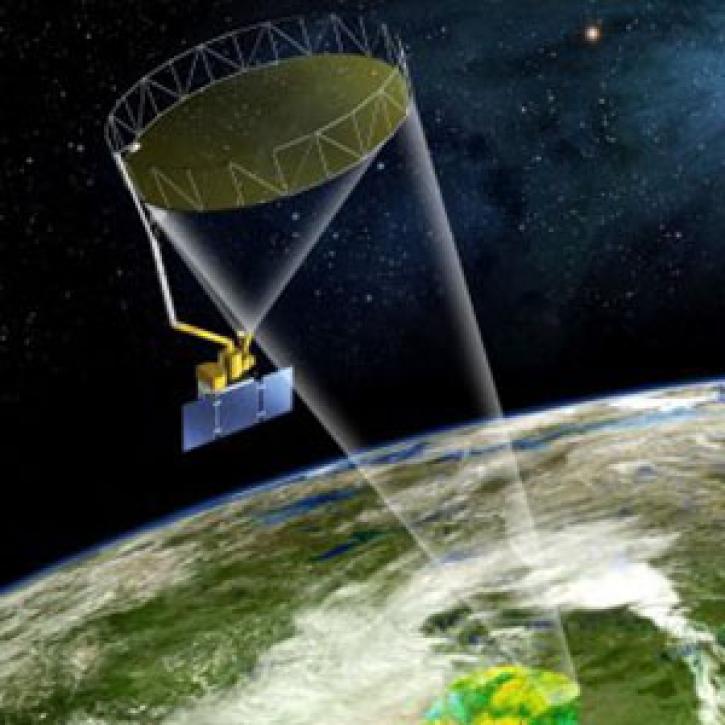
The Soil Moisture Active-Passive (SMAP) platform is a satellite that measures the surface moisture and freeze-thaw state of soil around the world approximately every three days. SMAP data contributes to understanding regional water cycles, ecosystem productivity, and natural processes involving water, energy, and carbon. SMAP's high-resolution data are helpful for weather, flood, and drought forecasting, and predicting agricultural productivity.
Soil Moisture/Water Content Data Tools
| Tool Sort descending | Description | Services | |
|---|---|---|---|
| Vertex | Vertex is a graphical search interface for finding synthetic aperture radar (SAR) data. | Search and Discovery, Access, Downloading, Processing, Subsetting |
Get Help
QUESTIONS & SUPPORT
Get help with NASA Earth science data, datasets, tools, services, and metadata on the Earthdata Forum. Experienced staff in the data user community review and answer questions.
Get help on Earthdata ForumForum