We are in the process of migrating all NASA Earth science data sites into Earthdata from now until end of 2026. Not all NASA Earth science data and resources will appear here until then. Thank you for your patience as we make this transition.
Read about the Web Unification Project
Land Surface News
Articles, resources, and announcements from Land Surface.
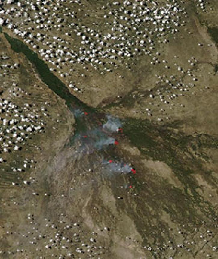
Image captured on 17 March 2019, by the MODIS instrument, aboard the Aqua satellite.
Worldview Image of the Week
Nov. 3, 2020

Learn to use the Application for Extracting and Exploring Analysis Ready Samples (AppEEARS) tool with Moderate Resolution Imaging Spectroradiometer (MODIS) data.
Event
Oct. 20, 2020

Radar satellite interferometry and the uncertainties of measurements.
Feature Article
Sept. 11, 2020
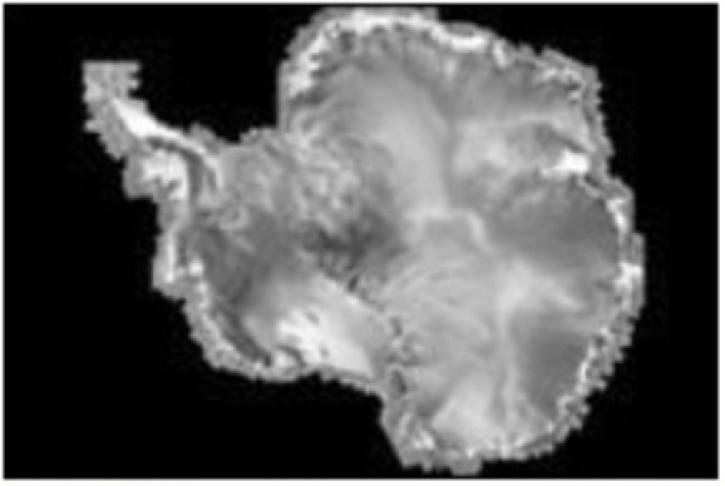
The RADARSAT Antarctic Mapping Project provides the world's first high-resolution map of Antarctica.
Feature Article
Sept. 11, 2020

Image captured by the MODIS instrument on 5 July 2015, aboard the Terra satellite
Worldview Image of the Week
Sept. 11, 2020

Image captured on 31 December 2018, by the MODIS instrument, aboard the Aqua satellite.
Worldview Image of the Week
Sept. 11, 2020

Image captured on 1 May 2017 by the VIIRS instrument, aboard the joint NASA/NOAA Suomi-NPP satellite.
Worldview Image of the Week
Sept. 11, 2020

Image captured by the MODIS instrument, aboard the Aqua satellite, on 20 September 2015.
Worldview Image of the Week
Sept. 11, 2020
SHOWING 8 OF 285