Digital Elevation/Terrain Model (DEM) Data Access and Tools

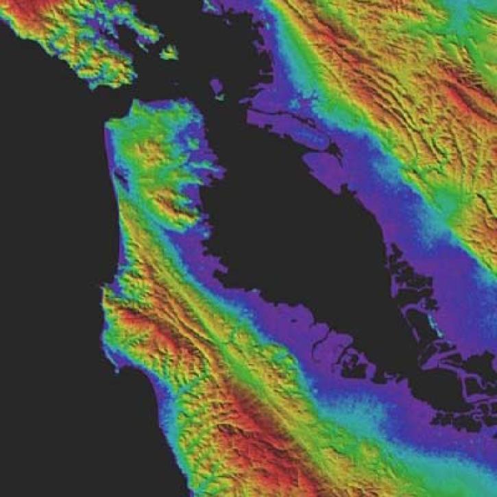
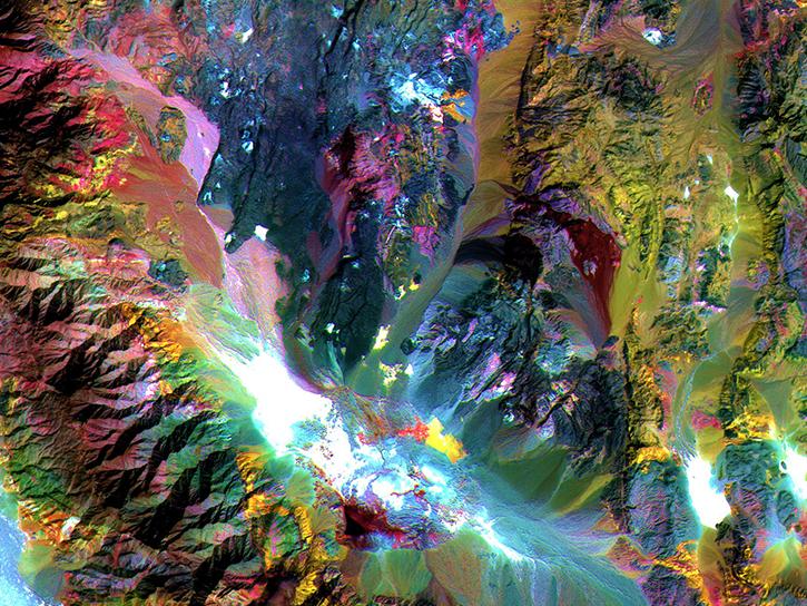
NASA's digital elevation model (DEM) data provides measurements across a majority of Earth's interior, shore, and coastal areas. Our datasets and tools help researchers translate these interconnected data points into actionable knowledge. 

Digital Elevation/Terrain Model (DEM) Datasets

Filters
Dataset Sort descending Version Platform Instrument Temporal Extent Spatial Extent Spatial Resolution Data Format
Soil Moisture Active Passive (SMAP) L1-L3 Ancillary Static Data V001 1 NOT APPLICABLE NOT APPLICABLE 2015-01-14 to Present

N: 86.4 S: -86.4 E: 180 W: -180

Binary, HDF5, ASCII

Digital Elevation/Terrain Model (DEM) Data Tools

No Results

Get Help

QUESTIONS & SUPPORT

Have a question?

Get help with NASA Earth science data, datasets, tools, services, and metadata on the Earthdata Forum. Experienced staff in the data user community review and answer questions.

Get help on Earthdata Forum
Earthdata
Forum