We are in the process of migrating all NASA Earth science data sites into Earthdata from now until end of 2026. Not all NASA Earth science data and resources will appear here until then. Thank you for your patience as we make this transition.
Read about the Web Unification Project
Human Dimensions News
Articles, resources, and announcements from Human Dimensions.

Image captured on 26 October 2016 by the Visible Infrared Imaging Radiometer Suite (VIIRS) instrument, aboard the joint NASA/NOAA Suomi National Polar-orbiting Partnership (Suomi NPP) satellite.
Worldview Image of the Week
Aug. 31, 2020

Image captured on 10 August 2018, by the VIIRS instrument, aboard the joint NASA/NOAA Suomi NPP satellite.
Worldview Image of the Week
Aug. 31, 2020
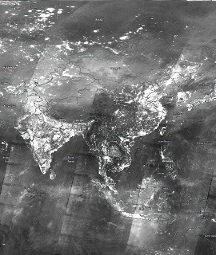
Image captured on 29 December 2019, by the VIIRS instrument, aboard the joint NASA/NOAA Suomi NPP satellite.
Worldview Image of the Week
Aug. 31, 2020

Image captured on 29 January 2017 by the VIIRS instrument, aboard the joint NASA/NOAA Suomi NPP satellite.
Worldview Image of the Week
Aug. 31, 2020

Image captured on 12 July 2020, by the VIIRS instrument, aboard the joint NASA/NOAA Suomi NPP satellite.
Worldview Image of the Week
Aug. 31, 2020

Image captured on 23 August 2020, by the VIIRS instrument, aboard the joint NASA/NOAA Suomi NPP satellite.
Worldview Image of the Week
Aug. 31, 2020

Gain new data integration skills using open source geographic information system (GIS) and Web-based tools.
News
Aug. 25, 2020

The experience may be different this summer, but almost a dozen interns are helping the ESDIS Project office and EOSDIS DAACs move vital work forward.
Feature Article
Aug. 12, 2020
SHOWING 8 OF 836