We are in the process of migrating all NASA Earth science data sites into Earthdata from now until end of 2026. Not all NASA Earth science data and resources will appear here until then. Thank you for your patience as we make this transition.
Read about the Web Unification Project
Human Dimensions News
Articles, resources, and announcements from Human Dimensions.

FIRMS has added additional capability to integrate satellite active fire detection data as streaming web services.
Blog
June 8, 2021

New data product from NASA’s LANCE will enhance the ability to determine whether changes in nighttime lights are the result of power outages.
Feature Article
June 4, 2021
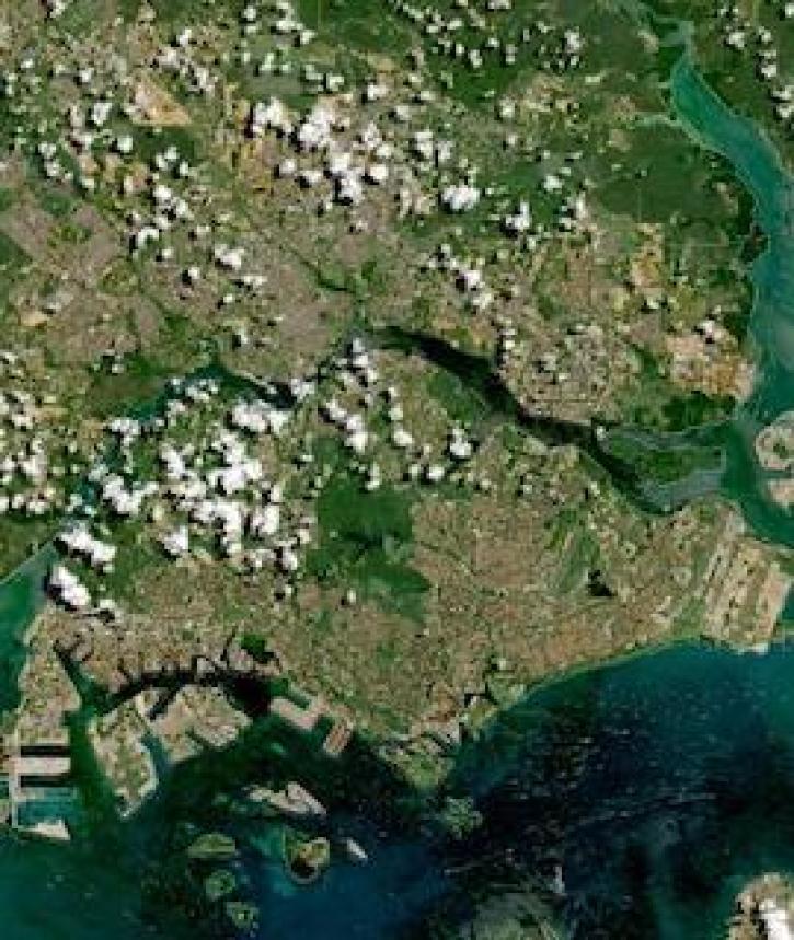
Image captured on 10 May 2021, by the MSI instrument, aboard ESA's Sentinel 2A and 2B satellites.
Worldview Image of the Week
June 2, 2021

A joint NASA/Institute of Electrical and Electronic Engineers (IEEE) Geoscience and Remote Sensing Society (GRSS) competition is applying AI to the remote detection of floods.
Feature Article
May 26, 2021

Image captured on 17 May 2021, by the VIIRS instrument, aboard the joint NASA/NOAA Suomi NPP satellite.
Worldview Image of the Week
May 24, 2021

Image captured on 11 May 2021, by the MODIS instrument, aboard the Terra satellite.
Worldview Image of the Week
May 17, 2021

Image captured on 2 May 2021, by the OMPS and VIIRS instruments, aboard the joint NASA/NOAA Suomi NPP satellite.
Worldview Image of the Week
May 12, 2021

Image captured on 20 April 2021, by the MSI instrument, aboard the Sentinel-2 satellite, as part of the HLS project.
Worldview Image of the Week
May 3, 2021
SHOWING 8 OF 854