We are in the process of migrating all NASA Earth science data sites into Earthdata from now until end of 2026. Not all NASA Earth science data and resources will appear here until then. Thank you for your patience as we make this transition.
Read about the Web Unification Project
Human Dimensions Learning Resources
Webinars, tutorials, data recipes and more to help you work with Human Dimensions.
Filters

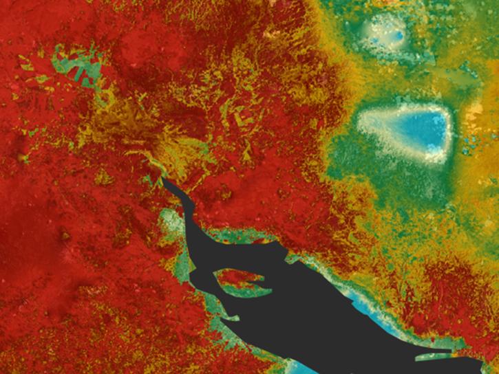
This ARSET training focuses on areas of urban flooding that satellite data can track, including extreme precipitation and waterlogged and ponded surfaces.
Training
July 25 - Aug. 1, 2018

Remote sensing data's drought-indicating parameters are essential to manage the impact of water scarcities and minimize drought losses.
Data in Action
June 27, 2018
Learn how ECOSTRESS measures surface temperatures to assess plant water use and stress, aiming to optimize agricultural practices and support ecosystem health.
Tutorial
June 25, 2018

This ARSET training covers the NASA data and tools useful for monitoring tropical storms.
Training
May 3-10, 2018

This ARSET training introduces the Variable Infiltration Capacity Model, sources of satellite-derived input data, and implementation of the model.
Training
Feb. 15 - March 1, 2018

This ARSET training covers how to conduct an accuracy assessment on a land cover map and identify which classes might be misrepresented.
Training
Feb. 13-20, 2018

The ability to understand where fish are likely to be and when they are likely to be there is critical for the sustainable management of fisheries.
Data in Action
Feb. 1, 2018

This ARSET training teaches how to use Python scripts to map and analyze air quality data through hands-on exercises.
Training
Jan. 17-22, 2018
SHOWING 8 OF 317
Frequently Asked Questions
Earthdata Forum
Our online forum provides a space for users to browse thousands of FAQs about research needs, data, and data applications. You can also submit new questions for our experts to answer.
Submit Questions to Earthdata Forumand View Expert Responses