Delivery of Suomi National Polar-orbiting Partnership (Suomi NPP) satellite data products will cease on November 1, 2026. Data users should transition now to alternative products from NOAA-21 and NOAA-20.
Suomi NPP data announcement
Vegetation Index Learning Resources
Webinars, tutorials, data recipes and more to help you work with Vegetation Index.
Filters
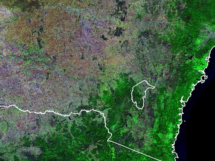
Learn how surface reflectance and albedo as measured by satellite data help scientists understand the topography and vegetation cover of Earth surfaces.
Data in Action
Nov. 30, 2017
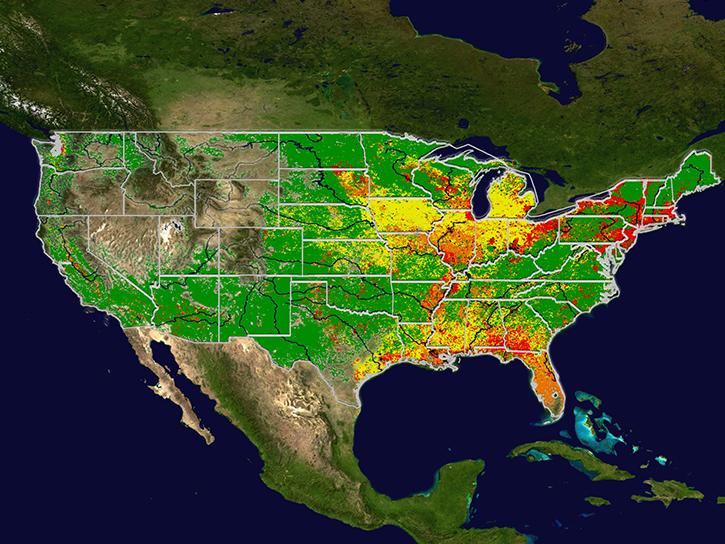
Learn how MODIS data help predict the spread of West Nile virus.
Data in Action
Sept. 17, 2017
This ARSET training provides an overview of remote sensing products, tools, and applications for ecological modeling.
Training
Sept. 7-28, 2017

Learn how to work with ASTER Level 1 Precision Terrain Corrected Registered At-Sensor Radiance ASTER L1T HDF-EOS (.hdf) files in R.
Data Recipe
Aug. 4, 2017
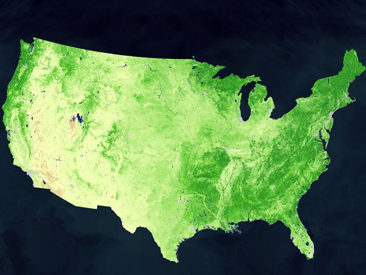
Learn how to decode quality data from MODIS products using an API quality service.
Tutorial
July 28, 2017
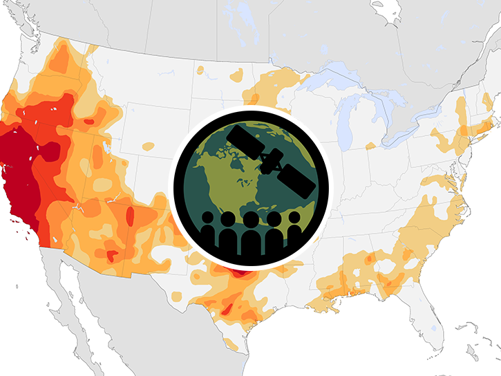
This ARSET training provides an overview of drought classification and web-based tools for drought monitoring and visualization.
Training
July 12-19, 2017
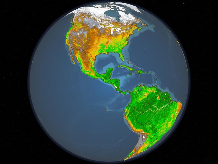
Learn how to access and use Moderate Resolution Imaging Spectroradiometer (MODIS) Vegetation Indices data.
Tutorial
April 10, 2017
Learn how to access and use Moderate Resolution Imaging Spectroradiometer (MODIS) Vegetation Indices data.
Tutorial
April 10, 2017
SHOWING 8 OF 53
Get Help
QUESTIONS & SUPPORT
Have a question?
Get help with NASA Earth science data, datasets, tools, services, and metadata on the Earthdata Forum. Experienced staff in the data user community review and answer questions.
Get help on Earthdata ForumEarthdata
Forum
Forum